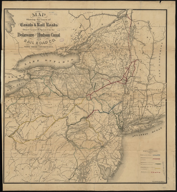
Map showing the lines of canals & rail roads owned, leased & operated by the Delaware and Hudson Canal and Rail Road Co. with their connections
Item Information
- Title:
- Map showing the lines of canals & rail roads owned, leased & operated by the Delaware and Hudson Canal and Rail Road Co. with their connections
- Date:
-
[1870–1879]
- Format:
-
Maps/Atlases
- Location:
-
Boston Public Library
Norman B. Leventhal Map Center - Collection (local):
-
Norman B. Leventhal Map Center Collection
- Subjects:
-
Delaware and Hudson Canal Company
Canals--Middle Atlantic States--Maps
Canals--New England--Maps
Railroads--Middle Atlantic States--Maps
Railroads--New England--Maps
Middle Atlantic States--Maps
New England--Maps
- Places:
-
New England (area)
Middle Atlantic (area)
- Extent:
- 1 map : hand col. ; 76 x 71 cm.
- Terms of Use:
-
No known copyright restrictions.
No known restrictions on use.
- Publisher:
-
Albany, N.Y :
Weed, Parsons & Co.
- Scale:
-
Scale [ca. 1:1,000,000]
- Language:
-
English
- Notes:
-
Shows railroads and canals in New Hampshire, Vermont, Massachusetts, Connecticut, New York, Pennsylvania, and Delaware.
Relief shown by hachures.
- Notes (date):
-
This date is inferred.
- Identifier:
-
06_01_009193
- Call #:
-
G3791.P3 1873 .M37x
- Barcode:
-
39999065660845


