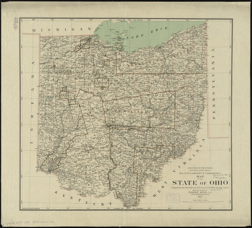
Map of the state of Ohio
Item Information
- Title:
- Map of the state of Ohio
- Creator:
- United States. General Land Office
- Name on Item:
-
compiled from the official records of the General Land Office and other sources under the direction of Harry King, C.E., Chief of Drafting Division, G.L.O. ; revised and corrected by I.P. Berthrong.
- Date:
-
1895
- Format:
-
Maps/Atlases
- Location:
-
Boston Public Library
Norman B. Leventhal Map Center - Collection (local):
-
Norman B. Leventhal Map Center Collection
- Subjects:
-
Ohio--Maps
- Places:
-
Ohio
- Extent:
- 1 map : col. ; 53 x 69 cm.
- Terms of Use:
-
No known copyright restrictions.
No known restrictions on use.
- Publisher:
-
[Washington D. C.] :
General Land Office
- Scale:
-
Scale [1:760,320]. 1 inch = 12 miles
- Language:
-
English
- Notes:
-
Prime meridians: Greenwich and Washington.
- Identifier:
-
06_01_008839
- Call #:
-
G4080 1895 .U55
- Barcode:
-
39999065657296


