Map of Massachusetts, Rhode-Island & Connecticut : compiled from the latest authorities
Item Information
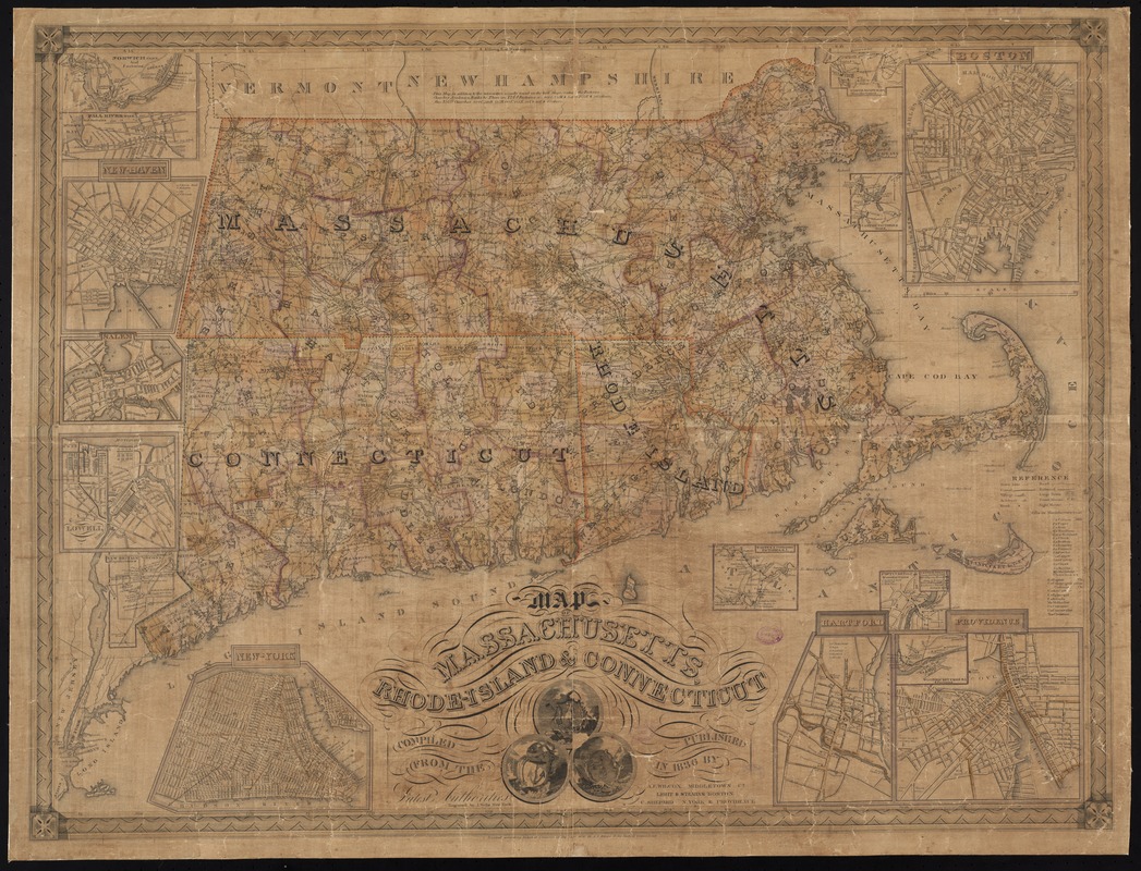
- Title:
- Map of Massachusetts, Rhode-Island & Connecticut : compiled from the latest authorities
- Title (alt.):
-
Map of Massachusetts, Rhode Island and Connecticut
- Name on Item:
-
engraved by J. Wells.
- Date:
-
1836
- Format:
-
Maps/Atlases
- Location:
-
Boston Public Library
Norman B. Leventhal Map Center - Collection (local):
-
Norman B. Leventhal Map Center Collection
- Subjects:
-
Massachusetts--Maps
Rhode Island--Maps
Connecticut--Maps
New England--Maps
- Places:
-
Massachusetts
New England (area)
Rhode Island
Connecticut
- Extent:
- 1 map : hand col. ; 61 x 82 cm.
- Terms of Use:
-
No known copyright restrictions.
No known restrictions on use.
- Publisher:
-
Middletown, Ct ; Boston ; N. York :
A.F. Wilcox ; Light & Stearns ; C. Shepard
- Scale:
-
Scale [ca. 1:464,000]
- Language:
-
English
- Notes:
-
Prime meridian: Washington [D.C.] and Greenwich.
Shows roads, railroads, mills, factories and churches.
Includes illustrations.
Insets: Norwich, Conn. and factories -- Fall River, Mass. and factories -- New-Haven -- Salem -- City of Lowell -- New Britain, Conn. manufactories -- New-York -- North Adams, Mass. manufactories -- Boston -- Canton factories, Mass. -- Warwick & Coventry factories, R.I. -- Pawtucket and Central Falls manufactories -- Hartford -- Woonsocket Falls, R.I. & factories -- Providence.
- Identifier:
-
06_01_008696
- Call #:
-
G3760 1836 .M37
- Barcode:
-
39999065656769


