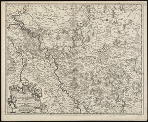
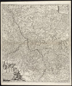
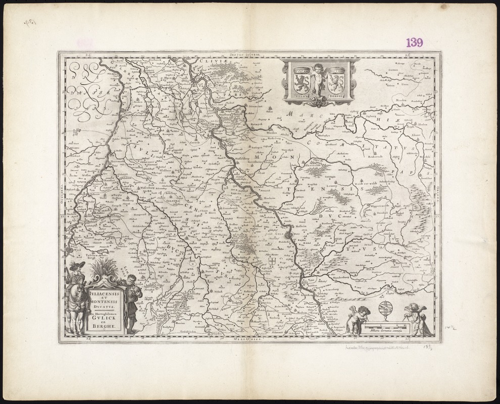
Iuliacensis et Montensis Ducatus = De Hertoghdomen Gulick en Berghe
Item Information
- Title:
- Iuliacensis et Montensis Ducatus = De Hertoghdomen Gulick en Berghe
- Title (alt.):
-
Juliacensis et Montensis Ducatus
Collection of old maps
- Creator:
- Blaeu, Willem Janszoon, 1571-1638
- Date:
-
[ca. 1635]
- Format:
-
Maps/Atlases
- Location:
-
Boston Public Library
Norman B. Leventhal Map Center - Collection (local):
-
Norman B. Leventhal Map Center Collection
- Subjects:
-
North Rhine-Westphalia (Germany)--Maps--Early works to 1800
Berg (Duchy)--Maps--Early works to 1800
Jülich-Berg--Maps--Early works to 1800
Jülich (Duchy)--Maps--Early works to 1800
- Places:
-
GermanyNorth Rhine-Westphalia
- Extent:
- 1 map ; 36 x 47 cm.
- Terms of Use:
-
No known copyright restrictions.
No known restrictions on use.
- Publisher:
-
Amsterdam :
Willem Janszoon Blaeu
- Scale:
-
Scale [ca. 1:220,000]
- Language:
-
Latin
- Notes:
-
Map of the historical Duchies of Jülich and Berg in the present day North Rhine-Westphalia region in western Germany.
Relief shown pictorially.
Verso is blank.
Cataloging, conservation, and digitization made possible in part by The National Endowment for the Humanities: Exploring the human endeavor.
Part of composite portfolio atlas with title "Collection of old maps."
- Identifier:
-
06_01_009463
- Call #:
-
G1015 .C65 1630
- Barcode:
-
30000003860768