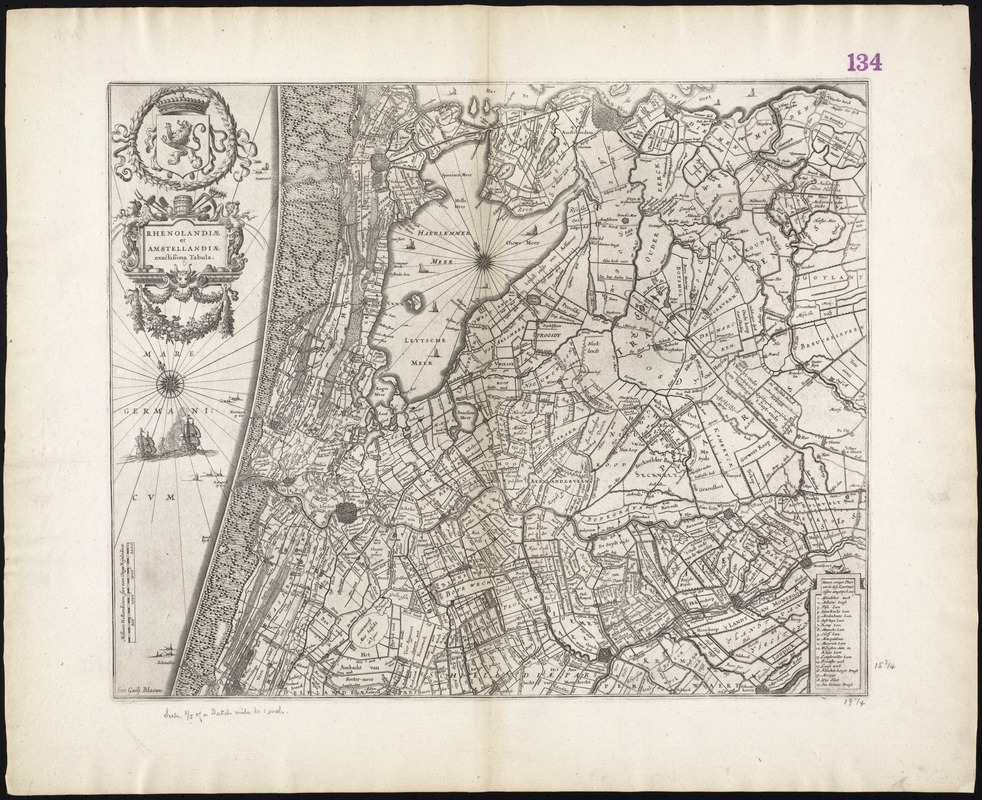
Rhenolandiae et Amstellandiae exactissima tabula
Item Information
- Title:
- Rhenolandiae et Amstellandiae exactissima tabula
- Title (alt.):
-
Collection of old maps
- Creator:
- Blaeu, Willem Janszoon, 1571-1638
- Date:
-
[1642]
- Format:
-
Maps/Atlases
- Location:
-
Boston Public Library
Norman B. Leventhal Map Center - Collection (local):
-
Norman B. Leventhal Map Center Collection
- Subjects:
-
Netherlands--Maps--Early works to 1800
- Places:
-
Netherlands
- Extent:
- 1 map ; 41 x 50 cm.
- Terms of Use:
-
No known copyright restrictions.
No known restrictions on use.
- Publisher:
-
[Amsterdam] :
Exc. Guilj. Blaeuw
- Scale:
-
Scale [ca. 1:120,000]
- Language:
-
Latin
- Notes:
-
Map of the western coast of the Netherlands from Amsterdam to Gouda.
Relief shown pictorially.
Oriented with north toward the upper left.
Verso is blank.
Cataloging, conservation, and digitization made possible in part by The National Endowment for the Humanities: Exploring the human endeavor.
Part of composite portfolio atlas with title "Collection of old maps."
- Notes (date):
-
This date is inferred.
- Identifier:
-
06_01_009449
- Call #:
-
G1015 .C65 1630
- Barcode:
-
30000003860499


