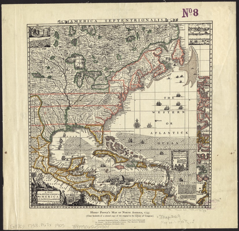
A map of the British Empire in America with the French and Spanish settlements adjacent throughout
Item Information
- Title:
- A map of the British Empire in America with the French and Spanish settlements adjacent throughout
- Title (alt.):
-
Henry Popple's map of North America, 1733 (close facsimile of a colored copy of the original in the Library of Congress)
America Septentrionalis
- Creator:
- Popple, Henry, d. 1743
- Name on Item:
-
by Hen. Popple.
- Date:
-
[1905?]
- Format:
-
Maps/Atlases
- Location:
-
Boston Public Library
Norman B. Leventhal Map Center - Collection (local):
-
Norman B. Leventhal Map Center Collection
- Subjects:
-
United States--Maps
- Places:
-
- Extent:
- 1 map : col. ; 28 x 27 cm.
- Terms of Use:
-
No known copyright restrictions.
No known restrictions on use.
- Publisher:
-
Cleveland, Ohio :
The Burrow Brothers Company
- Scale:
-
Scale [ca. 1:22,500,000]
- Language:
-
English
- Notes:
-
Relief shown pictorially.
Includes illustrations and 22 insets.
"Specimen illustration from 'A history of the United States and its people.' by Elroy McKendree Avery."
- Identifier:
-
06_01_008493
- Call #:
-
G3700 1733 .P67x 1905
- Barcode:
-
39999065654301


