Map of the United States
Item Information
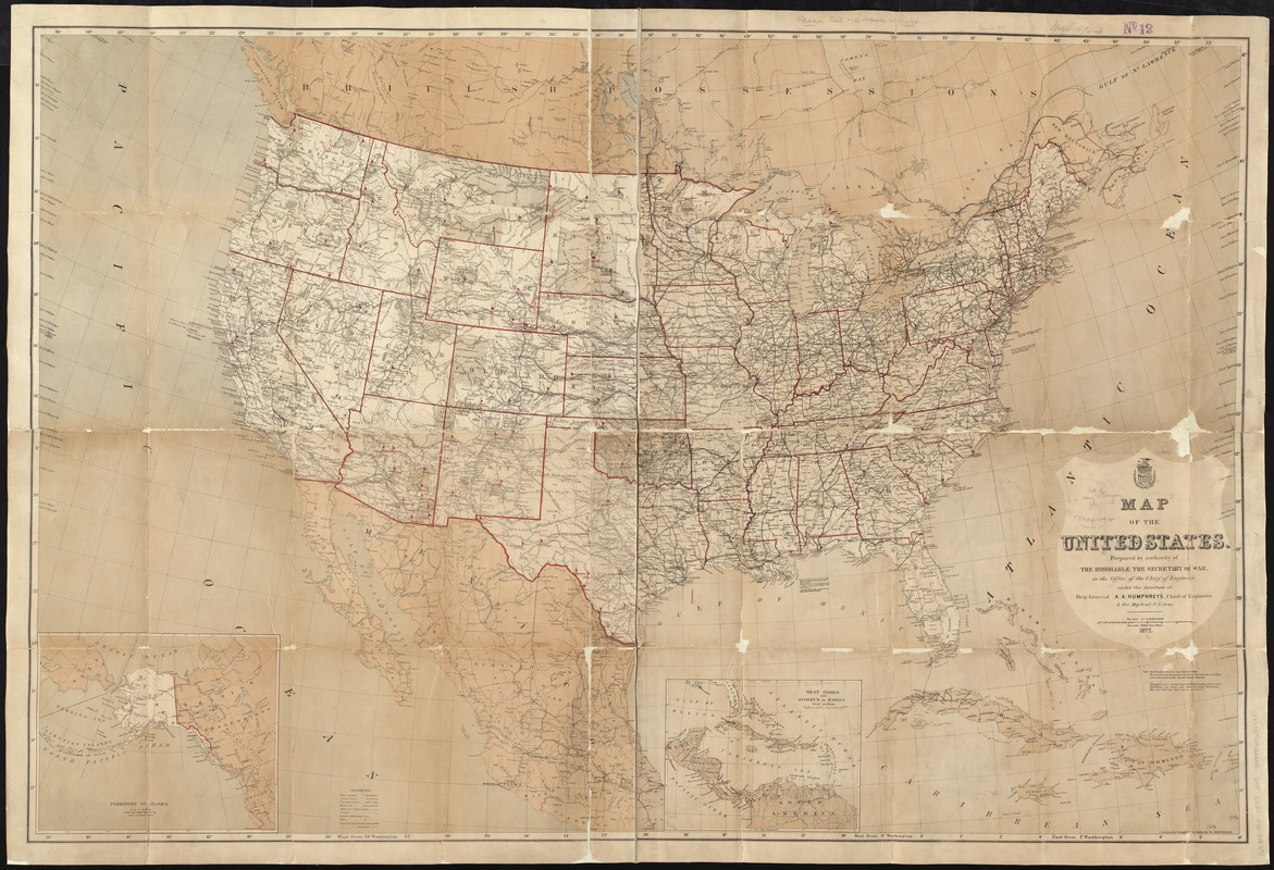
- Title:
- Map of the United States
- Creator:
- United States. War Dept. Office of the Chief of Engineers
- Name on Item:
-
prepared by authority of the Honorable the Secretary of War, in the Office of the Chief of Engineers, under the direction of Brig. General A.A. Humphreys, Chief of Engineers & Bvt. Maj. Gen'l, U.S. Army ; originally compiled and drawn by E. Freyhold.
- Date:
-
1877
- Format:
-
Maps/Atlases
- Location:
-
Boston Public Library
Norman B. Leventhal Map Center - Collection (local):
-
Norman B. Leventhal Map Center Collection
- Subjects:
-
Military bases--United States--Maps
Arsenals--United States--Maps
- Places:
-
- Extent:
- 1 map on 2 sheets : col. ; 86 x 130 cm., sheets 93 x 70 cm.
- Terms of Use:
-
No known copyright restrictions.
No known restrictions on use.
- Publisher:
-
Washington, D.C :
[Office of the Chief of Engineers, War Dept.]
- Scale:
-
Scale 1:5,000,000. One in. = 78.914 stat. miles
- Language:
-
English
- Notes:
-
Arsenals, armories, forts, and barracks indicated by red flags.
Prime meridians: Greenwich and Washington, D.C.
Includes notes, inset of Alaska, and inset of West Indies and Central America.
- Identifier:
-
06_01_008454
- Call #:
-
G3701.R2 1877 .U55
- Barcode:
-
39999065654731
- LCCN:
-
2006459244


