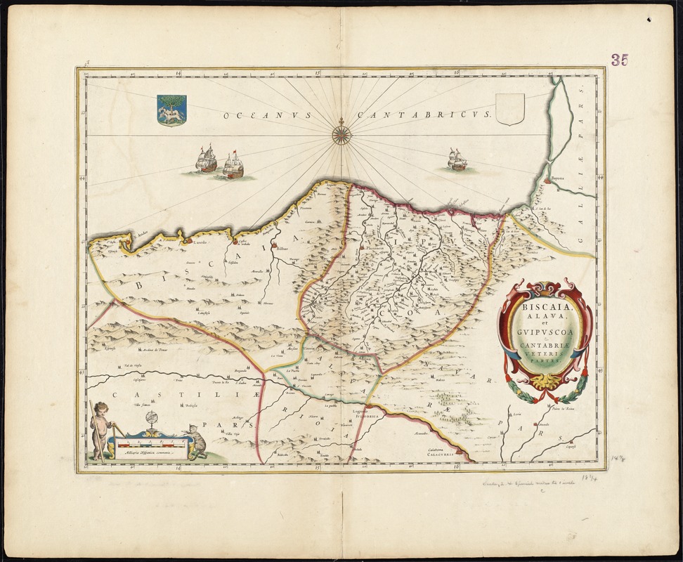
Biscaia, Alava, et Guipuscoa Cantabriae veteris partes
Item Information
- Title:
- Biscaia, Alava, et Guipuscoa Cantabriae veteris partes
- Creator:
- Blaeu, Joan, 1596-1673
- Date:
-
[1662?]
- Format:
-
Maps/Atlases
- Location:
-
Boston Public Library
Norman B. Leventhal Map Center - Collection (local):
-
Norman B. Leventhal Map Center Collection
- Subjects:
-
Alava (Spain : Province)--Maps--Early works to 1800
Cantabria (Spain)--Maps--Early works to 1800
Vizcaya (Spain)--Maps--Early works to 1800
- Places:
-
Basque Provinces (region)Álava (province)
- Extent:
- 1 map : hand col. ; 37 x 48 cm.
- Terms of Use:
-
No known copyright restrictions.
No known restrictions on use.
- Publisher:
-
Amsterdam :
Joan Blaeu
- Scale:
-
Scale [ca. 1:610,000]
- Language:
-
Latin
- Notes:
-
Map of the Alava, Biscay, and Cantabria regions in northern Spain.
Relief shown pictorially.
Verso is blank.
Text in Latin.
Cataloging, conservation, and digitization made possible in part by The National Endowment for the Humanities: Exploring the human endeavor.
Part of composite portfolio atlas with title "Collection of old maps."
- Identifier:
-
06_01_008869
- Call #:
-
G1015 .C65 1630
- Barcode:
-
30000003834663


