Tabula Italiae antiquae geographica : quam excellentissimus dominus Dex de la Rochefoucauld in oere incidi curavit
Item Information
- Title:
- Tabula Italiae antiquae geographica : quam excellentissimus dominus Dex de la Rochefoucauld in oere incidi curavit
- Creator:
- Anville, Jean Baptiste Bourguignon d', 1697-1782
- Cartographer:
- Anville, Jean Baptiste Bourguignon d', 1697-1782
- Name on Item:
-
Auctor d'Anville ...
- Date:
-
1784
- Format:
-
Maps/Atlases
- Location:
-
Boston Public Library
Norman B. Leventhal Map Center - Collection (local):
-
Norman B. Leventhal Map Center Collection
- Subjects:
-
Classical geography--Maps--Early works to 1800
Italy--Historical geography--Maps--Early works to 1800
- Places:
-
Italy
- Extent:
- 1 map : outline col. ; 58 x 48 cm.
- Terms of Use:
-
No known copyright restrictions.
No known restrictions on use.
- Publisher:
-
Norimbergae :
in Officina Weigelio-Schneideriana
- Scale:
-
Scale [1:2,000,000].
- Language:
-
Latin
- Notes:
-
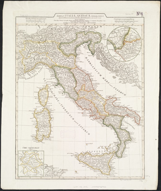
Inset maps: "Urbs Septicollis" ; Environs of Rome.
Shows boundaries, rivers, roads and settlements.
Relief shown pictorially.
Ferro meridian.
Italy at the time of the Romans.
- Identifier:
-
06_01_007100
- Call #:
-
G6710 1784 .A58x
- Barcode:
-
39999059029601


