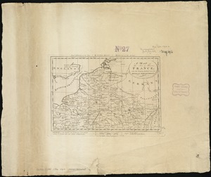
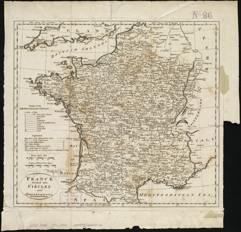
France divided into circles and departments
Item Information
- Title:
- France divided into circles and departments
- Creator:
- Carey, Mathew, 1760-1839
- Date:
-
[1794]
- Format:
-
Maps/Atlases
- Location:
-
Boston Public Library
Norman B. Leventhal Map Center - Collection (local):
-
Norman B. Leventhal Map Center Collection
- Subjects:
-
France--Administrative and political divisions--Maps--Early works to 1800
France--History--Revolution, 1789-1799--Maps--Early works to 1800
- Places:
-
France
- Extent:
- 1 map ; 32 x 35 cm.
- Terms of Use:
-
No known copyright restrictions.
No known restrictions on use.
- Publisher:
-
Philadelphia :
M. Carey
- Scale:
-
Scale ca. 1:3,333,000.
- Language:
-
English
- Notes:
-
Relief shown pictorially.
Appears in the author's A General Atlas for the Present War. Philadelphia, M. Carey, 1794.
- Notes (date):
-
This date is inferred.
- Identifier:
-
06_01_006517
- Call #:
-
G5831.S545 1794 .C37x
- Barcode:
-
39999059026276