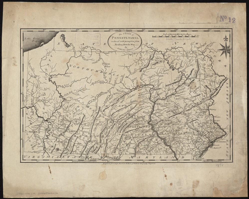
The State of Pennsylvania
This map is also available in American Revolutionary Geographies Online (ARGO), a collections portal especially built for material relating to the American Revolutionary War Era. Visit ARGO to learn more about this item and explore the historical geography of North America in the late eighteenth century.
Item Information
- Title:
- The State of Pennsylvania
- Creator:
- Lewis, Samuel, 1753 or 4-1822
- Name on Item:
-
reduced with permission from Reading Howells Map by Samuel Lewis.
- Date:
-
[1795]
- Format:
-
Maps/Atlases
- Location:
-
Boston Public Library
Norman B. Leventhal Map Center - Collection (local):
-
Norman B. Leventhal Map Center Collection
- Subjects:
-
Pennsylvania--Maps--Early works to 1800
- Places:
-
Pennsylvania
- Extent:
- 1 map ; 29 x 45 cm.
- Terms of Use:
-
No known copyright restrictions.
No known restrictions on use.
- Publisher:
-
Philadelphia :
Mathew Carey
- Scale:
-
Scale 1:1,140,480
- Language:
-
English
- Notes:
-
Prime meridian: Philadelphia and London.
Relief shown pictorially.
Shows towns, county boundaries, and roads.
"Engraved for Carey's American edition of Guthrie's Geography improved." Philadelphia : M. Carey, 1795.
Cataloging, conservation, and digitization made possible in part by The National Endowment for the Humanities: Exploring the human endeavor.
- Notes (date):
-
This date is inferred.
- Identifier:
-
06_01_006304
- Call #:
-
G3820 1795 .L49
- Barcode:
-
39999059022606

![[Environs of Philadelphia]](https://bpldcassets.blob.core.windows.net/derivatives/images/commonwealth:7h149x76d/image_thumbnail_300.jpg)


