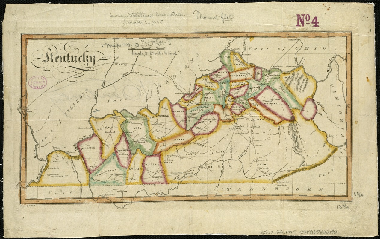
Kentucky
Item Information
- Title:
- Kentucky
- Creator:
- Melish, John, 1771-1822
- Name on Item:
-
drawn by J. Melish ; J. Vallance sc.
- Date:
-
[1812]
- Format:
-
Maps/Atlases
- Location:
-
Boston Public Library
Norman B. Leventhal Map Center - Collection (local):
-
Norman B. Leventhal Map Center Collection
- Subjects:
-
Kentucky--Maps
- Places:
-
Kentucky
- Extent:
- 1 map : col. ; 17 x 36 cm.
- Terms of Use:
-
No known copyright restrictions.
No known restrictions on use.
- Publisher:
-
Philadelphia :
John Melish
- Scale:
-
Scale [ca. 1:2,000,000]
- Language:
-
English
- Notes:
-
Appears in the author's Travels through the United States of America, in the years 1806 & 1807, and 1809, 1810, & 1811. Philadelphia, 1812.
Relief shown by hachures.
Shows counties, towns, roads and rivers.
- Notes (date):
-
This date is inferred.
- Identifier:
-
06_01_006293
- Call #:
-
G3950 1812 .M45
- Barcode:
-
39999059022192


