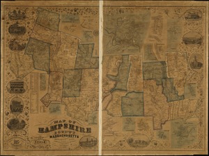
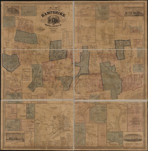
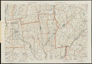
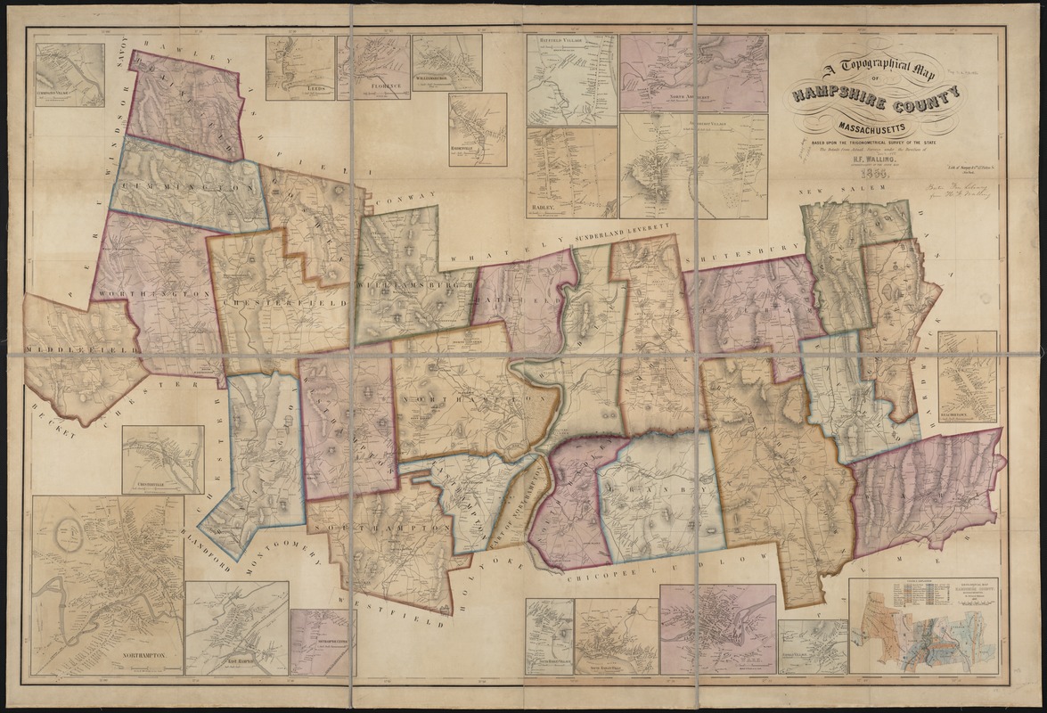
A topographical map of Hampshire County Massachusetts : based upon the trigonometrical survey of the state
Item Information
- Title:
- A topographical map of Hampshire County Massachusetts : based upon the trigonometrical survey of the state
- Creator:
- Walling, Henry Francis, 1825-1888
- Name on Item:
-
the details from actual surveys under the direction of H.F. Walling.
- Date:
-
1856
- Format:
-
Maps/Atlases
- Location:
-
Boston Public Library
Norman B. Leventhal Map Center - Collection (local):
-
Norman B. Leventhal Map Center Collection
- Subjects:
-
Hampshire County (Mass.)--Maps
- Places:
-
Hampshire (county)
- Extent:
- 1 map : col. ; 98 x 148 cm.
- Terms of Use:
-
No known copyright restrictions.
No known restrictions on use.
- Publisher:
-
S.l :
[s.n.]
- Scale:
-
Scales differ.
- Language:
-
English
- Notes:
-
Includes nineteen insets.
Relief shown by hachures.
"Lith. of Sarony & Co. New York."
- Identifier:
-
06_01_000894
- Call #:
-
G3763.H4 1856 .W3
- Barcode:
-
39999058991017