

Spaces of Separation
Some of the earliest promoters of public parks and recreational grounds had described their projects as shared democratic spaces. But as cities grew and stratified in the twentieth century, many green spaces became the exclusive domain of white, affluent communities. This same process of geographic separation also left poor people and people of color increasingly concentrated in the oldest and dirtiest neighborhoods. Cycles of disinvestment followed, and even once-celebrated landscapes fell into disrepair as private and public financing abandoned many urban areas. “Environmental racism” is the term given to this phenomenon where environmental disparities mutually reinforce racist systems of inequality.
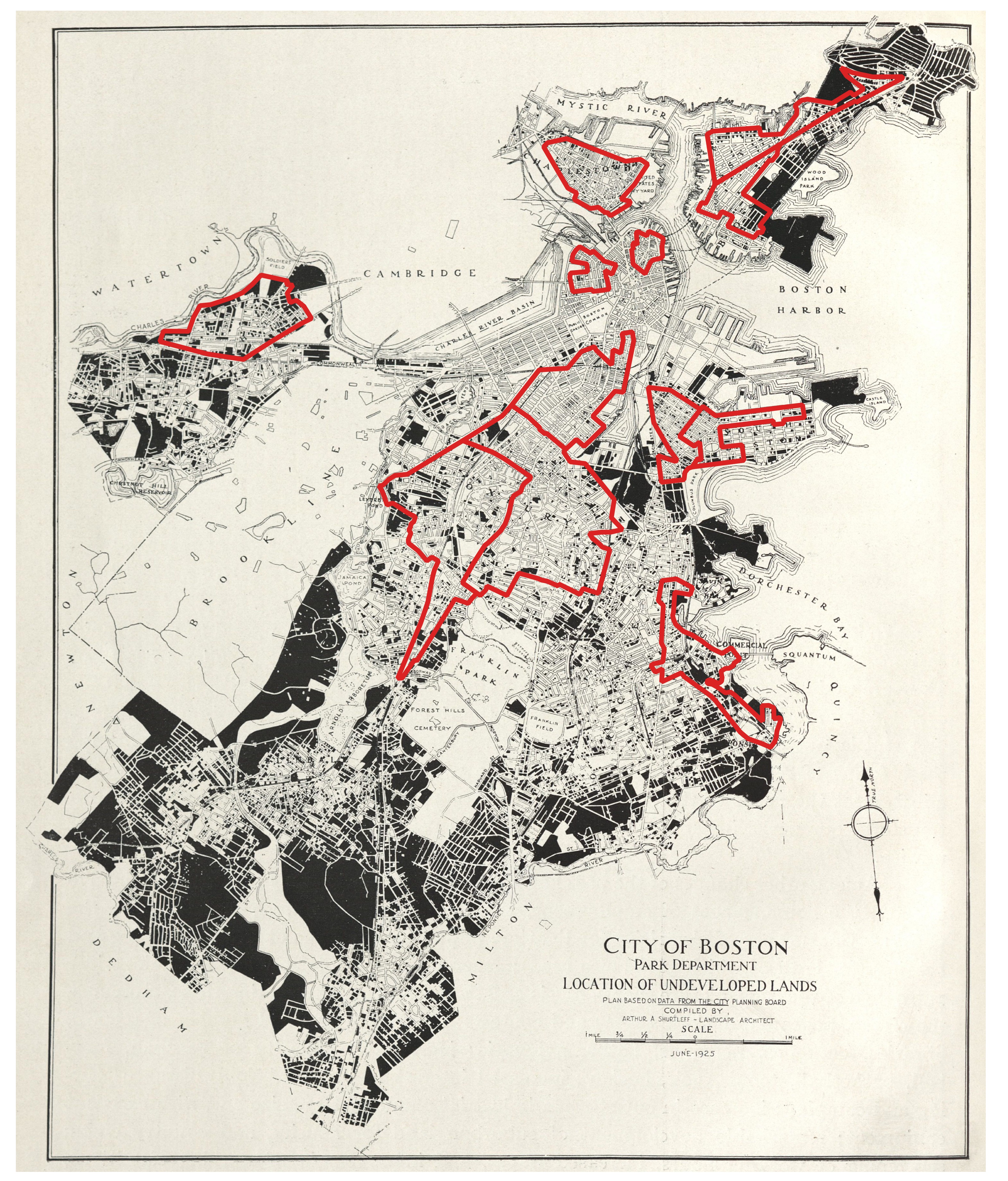
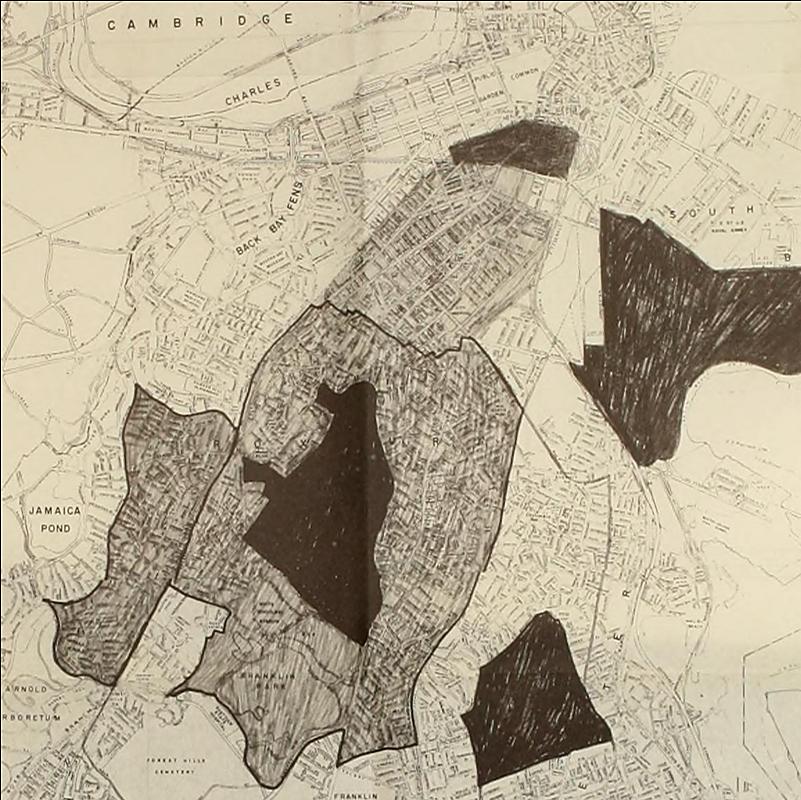
Location of Undeveloped Lands with boundaries from Residential Security Map of Boston, Mass.
Arthur A. Shurtleff; City of Boston Park Department; Home Owners' Loan Corporation; Leventhal Map & Education Center
1925, 1938, and 2022
Leventhal Map & Education Center
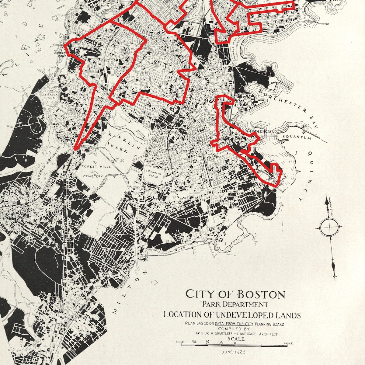
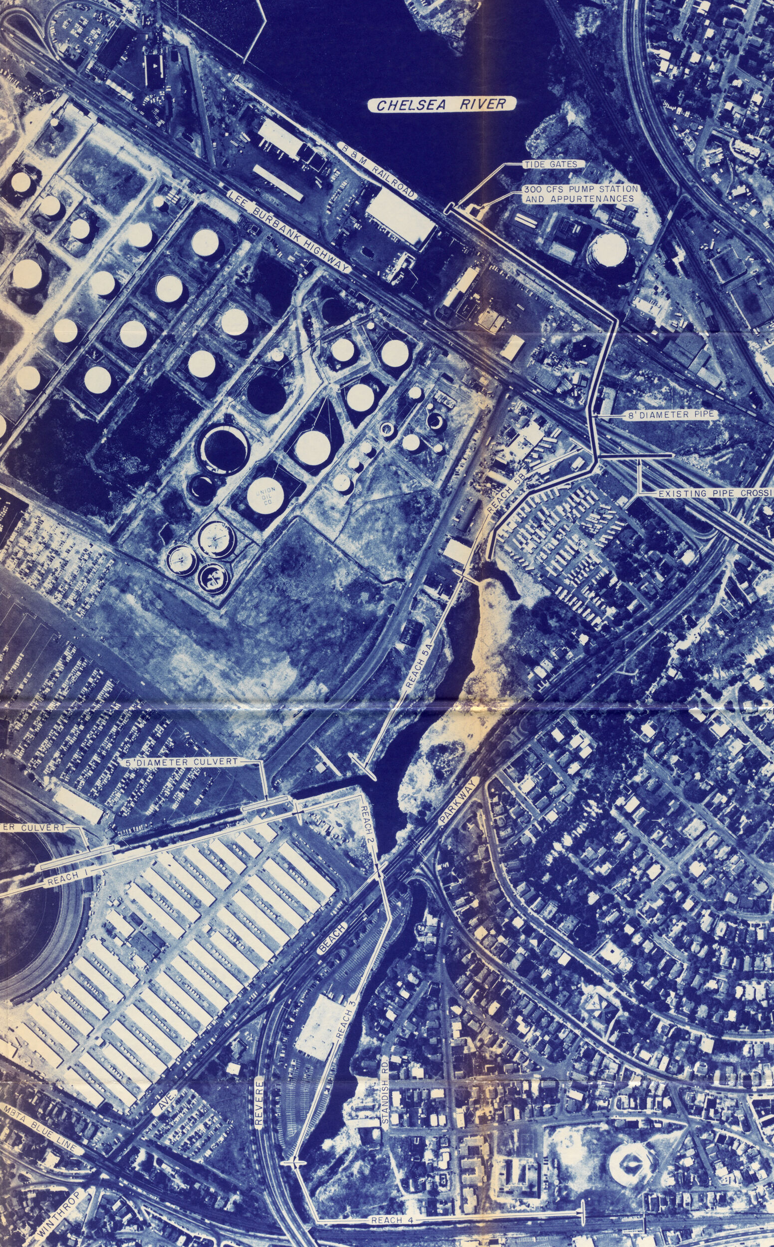
In the 1930s, the federal government began insuring home loans as part of economic supports introduced during the Great Depression. Government surveyors were sent to evaluate neighborhood conditions and to assign them “grades.” These surveys included both racial and environmental observations. The presence of Blacks, immigrants, and low-wage laborers would consign a neighborhood to the lowest “D” grade, as would poor housing or proximity to dirty industries. “D” grade areas were marked in red on maps, giving rise to the term “redlining.” This map superimposes redlined neighborhoods from a 1938 federal survey on top of a 1925 Boston Parks Department map showing undeveloped land. Redlined neighborhoods were typically the older, denser areas far from the leafy margins where new development was likely to occur. These same neighborhoods were also where most of the city’s most socially marginalized populations lived, a geographic overlap that was certainly not mere coincidence.
Areas Served By Boston Banks Group Under Pooled Bank Operations
Boston Redevelopment Authority
ca. 1968
Boston Public Library
In response to the “urban crisis” and the Civil Rights Movement of the 1960s, government and business leaders in Boston sought to address the city’s racial and geographic inequalities through a program that would support mortgage lending in majority-Black, formerly redlined neighborhoods. However, the decision by the Boston Banks Urban Renewal Group (B-BURG) to lend only within the areas shown on this map ended up worsening these divisions, spurring white flight to the suburbs and concentrating racialized poverty in places like Roxbury and Dorchester.