
January 30, 2026

Massachusetts Water Resources Authority, General plan of the MWRA/MDC water system (1989)

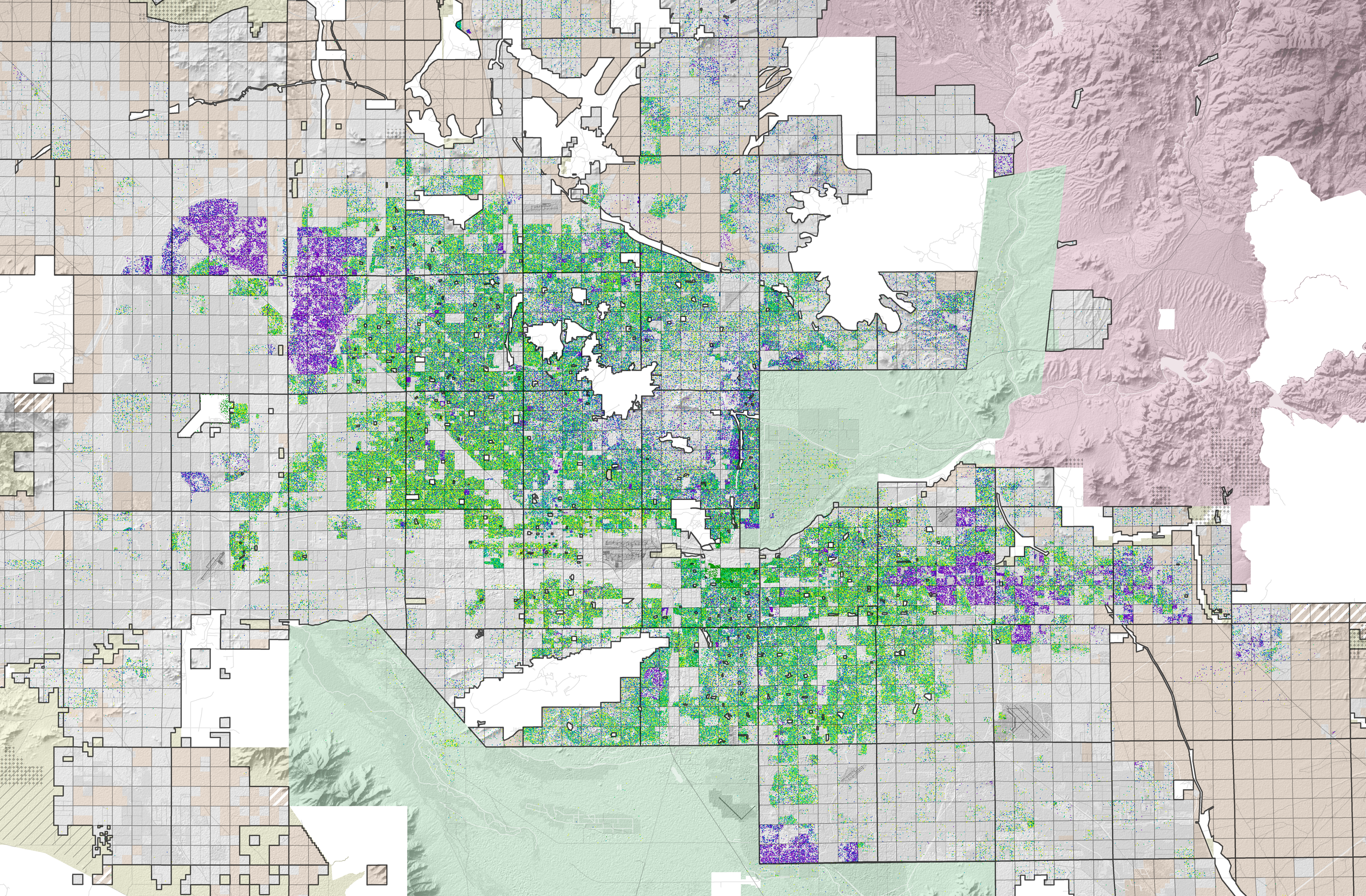
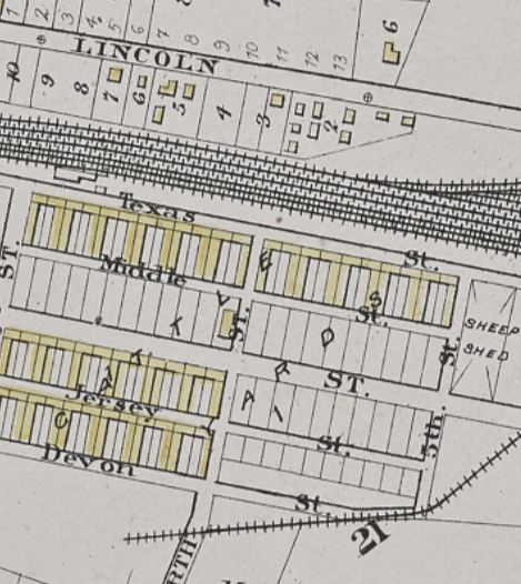
The Historical Geography of Boston's Craft Beer Industry
What does a draft of beer reveal about the geography of our city? In this new article, Josh Merced traces how Boston’s brewing history has tracked the city’s evolving urban landscape, from nineteenth-century industrial breweries clustered along rail lines and waterfronts to today’s craft beer scene in repurposed factories and warehouses. You'll learn about how today's brewers draw on these industrial spaces and neighborhood histories to craft place-based identities, and consider questions about the city's relationship to industry, memory, and reuse. This digital publication was supported by the Leventhal Map & Education Center's Small Grants for Early Career Digital Publications program.

Prelude to a Revolution, Part One
Big storms may impact us today with transportation delays and snow days, but weather and climate have always had an impact on how people think, act, and live. As the United States teeters toward its semiquincentennial on July 4, 2026, Charlotte Leib revisits the decades prior to the United States’ founding to examine how maps, scarcity, and severe weather combined to shape the new American Republic—and a revolution we’re still waiting on. This digital publication was supported by the Leventhal Map & Education Center's Small Grants for Early Career Digital Publications program.

In Case You Missed It: AI and Historical Newspapers
This event, co-hosted by BPL Digital Services and the Leventhal Map & Education Center, explored how computational text analysis is transforming historical newspaper research. We hosted Molly Hardy from the Harvard Library Innovation Lab and Greg Leppert, Executive Director of Harvard's Institutional Data Initiative, as they examined the formation of historical newspaper collections and how artificial intelligence contributes to efforts to digitize these collections and make them accessible.
In-Person: Bill Rankin on Radical Cartography · Feb 24, 1:30 pm ET
Join Yale University professor William Rankin, in discussion with Catherine D'Ignazio, for a conversation about his new book, Radical Cartography. The book—a historical, methodological, and practical exploration of data mapping—brings the last two hundred years of mapping and visualization into conversation with Rankin’s own mapping projects, which have been published and exhibited widely in the US, Europe, and Asia.
Lunch will be served and registration is required to attend.

In-Person: From the Vault Map Collection Showing · Feb 13, 2 pm ET
While the staff at the Leventhal Center have a special place in our hearts for all of our maps, there are just a few that each of us love the tiniest bit more than the others. In this From The Vault collections showing, we'll show off staff favorites and talk about why these maps, among more than 250,000 others in our collection, have captured our attention.
This free showing will be hosted Friday, February 13 in the Learning Center with a staff member from the Leventhal Center available to answer questions. Drop in any time between 2:00 pm–4:00 pm. No reservation is required.

Application Deadlines for Researchers
The New England Regional Fellowship Consortium (NERFC) offers $5,000 stipends for in-person research itineraries that involve a minimum of three participating institutions, including the Leventhal Center and Boston Public Library. Applications are due February 1.
The New England Quarterly is hosting a symposium on "Environmental Histories of New England, 1600-2025" on Friday, September 18, 2026 at the Massachusetts Historical Society. Paper submissions from scholars working on geographical topics are welcome; applications are due January 31.
Newsletter Trivia: Boston's Cows
Have you heard that the streets of downtown Boston twist and wind because they were originally cowpaths? While untrue as an origin story, Bostonians have long lived alongside cattle and other livestock—in fact, it is still legally permissible* to graze livestock on the Boston Common! Which Boston neighborhood was a major hub of cattle trade and butchery for more than 200 years?
Jamaica Plain
Allston / Brighton
South Boston
Dorchester
The answer to last newsletter’s question about our most-viewed map of 2025 is Gleason's new standard map of the world.
Correct answers will be included in a random drawing—the winner will receive the next three Map of the Month club postcards for free. Congratulations to our last winner, Marie! In order to enter, make sure you follow us on Bluesky, Instagram or Facebook and direct message or email us the answer to the question. We’ll accept answers until February 9 at 9 am ET.
*Please note that the Leventhal Center is not offering legal advice about cattle grazing; check the relevant laws and regulations before bringing your cows to the Common.
The Leventhal Map & Education Center is an independent nonprofit. We rely on the contributions of donors like you to support our mission of preserving the past and advancing the future of maps and geography.
View this email in your browser
Leventhal Map & Education Center at the Boston Public Library
617.859.2387 · info@leventhalmap.org
{{SenderInfoLine}}