
June 9, 2025
In-Person: Creating a Map Icon Library for the City · June 17, 2 pm ET
Join the Leventhal Center’s 2025 Designer-in-Residence, Meghan Kelly, for a community map-creation project!
In this workshop, we will collectively create map icons and develop an icon set for Boston. To begin, we will discuss the role of map icons in maps and will explore the limits of and opportunities for existing map icon libraries. We will then turn to a hands-on activity where we will iteratively create icons for the city that better reflect our experiences of places. This icon set will be publicly available to mapmakers and educators for local mapping initiatives.
This program is co-sponsored by BPL Community History.

American Prime Meridians: The Early Years
If you’ve visited Terrains of Independence, you might have noticed a curious detail across the maps on display: different maps use different reference points for measuring longitude. Because the prime meridian—or 0° line of longitude—can functionally be placed through any point on Earth, it was common practice in the late eighteenth century to use systems of longitude relative to important cities, such as London or Paris.
In this article, historian James E. Lewis, Jr. explores the early efforts to create an American prime meridian that ran through Washington, D.C—and how these efforts were considered a matter of national pride, as much as cartographic accuracy.

Spotlight: New Digital Collections in ARGO
We’re excited to announce that the Royal Danish Library and Filson Historical Society have joined ARGO as collection partners. From the Royal Danish Library’s holdings, you’ll find roughly 100 maps in ARGO that depict the Americas in the late eighteenth century, with particularly interesting maps of Danish colonial territories in Greenland and the Caribbean.
The maps included from the Filson Historical Society are a part of the First American West digital exhibition, an online collection of letters, financial records, sermons, books, maps, and objects relating to the Ohio River Valley in the mid-1700s through the early 1800s.
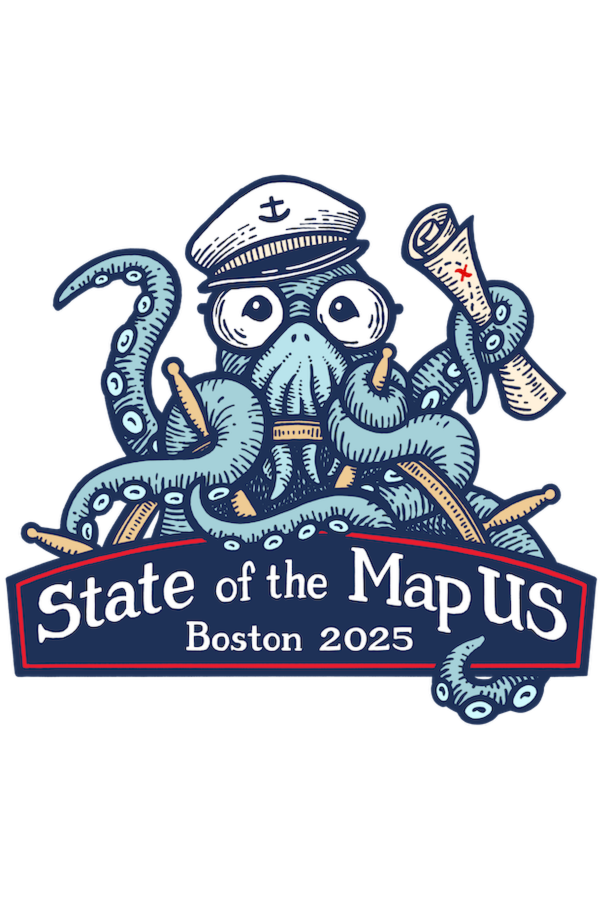
State of the Map US: Boston 2025
OpenStreetMap’s annual “State of the Map” conference is coming to Boston!
From June 19–21, come connect with mappers, businesses, academics, government agencies, and nonprofits, all collaborating around the free and editable map of the world. Whether you’re brand new to open mapping or you’re an OpenStreetMap veteran, this conference is for you.

From the Vault: May Roundup
This past May, we hosted three From the Vault events.
A Legacy of Leadership and Resilience: AANHPI History Month examined the ways maps can support and inform Asian, Native Hawaiian, and Pacific Islander history across the globe and considered what it means for a map to be truly representative of a place and its people. In Changed/Forgotten: Places That No Longer Exist, maps showed historic counterparts of modern day cities and the ancient ruins of a fallen society, demonstrating just how much has changed or been forgotten and how much still remains in contemporary landscapes. The Bonner Map & Beyond explored the many states of Captain John Bonner’s famous map of Boston, its evolution over a half-century, and its enduring cartographic influence into the twentieth century.
Check out the maps from each of the events in the roundup articles linked below.

Newsletter Trivia: Annexed Towns of Boston
By the 1860s, Boston began annexing neighboring municipalities to expand the city’s footprint. Which of these formerly independent towns was the last to be annexed by Boston?
- West Roxbury
- Hyde Park
- East Boston
- Brighton
The answer to last newsletter’s question about which North Shore Massachusetts town was the Bay Colony’s first and primary fishing port is Gloucester.
Correct answers will be included in a random draw—the winner will receive the next three Map of the Month club postcards for free. Congratulations to our last winner, Lena! In order to enter, make sure you follow us on Bluesky, Instagram or Facebook and direct message or email us the answer to the following question. We’ll accept answers until June 16 at 9 am ET.

Father’s Day Map Sale!
Father’s Day is on the way and the Leventhal Center has just the right gift for Dad from our gift store! Until June 15, use the code DADS-LOVE-MAPS to get 25% off your order from the LMEC gift store. The deadline for guaranteed delivery by Father’s Day has passed, but our free in-gallery pickup is still available!
Whether you’re looking for an amusing old map of Boston, a beautiful view of Cape Cod, or a striking pre-Revolution map from our current exhibition, our high quality prints are the perfect way to celebrate the map lover in your life. Get Dad a gift he’ll cherish and help support LMEC along the way.
The Leventhal Map & Education Center is an independent nonprofit. We rely on the contributions of donors like you to support our mission of preserving the past and advancing the future of maps and geography.
View this email in your browser
Leventhal Map & Education Center at the Boston Public Library
617.859.2387 · info@leventhalmap.org
{{SenderInfoLine}}