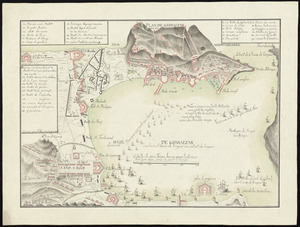
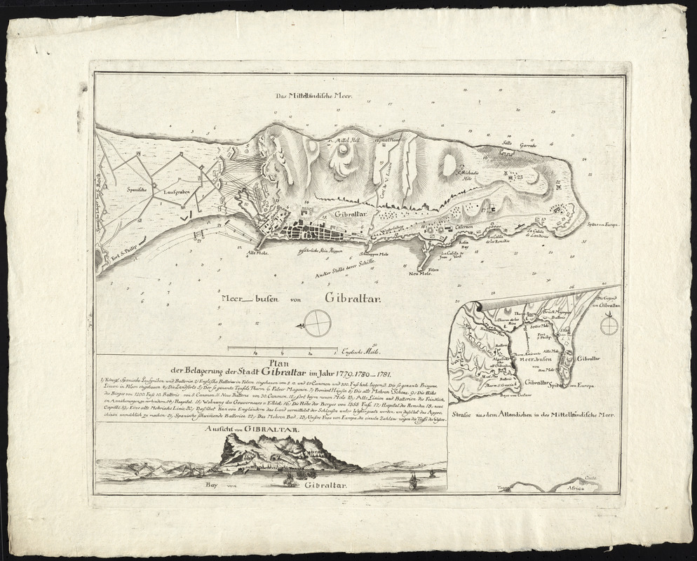
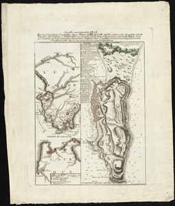
Plan der belagerung der stadt Gibraltar im jahr 1779, 1780, 1781
This map is also available in American Revolutionary Geographies Online (ARGO), a collections portal especially built for material relating to the American Revolutionary War Era. Visit ARGO to learn more about this item and explore the historical geography of North America in the late eighteenth century.
Item Information
- Title:
- Plan der belagerung der stadt Gibraltar im jahr 1779, 1780, 1781
- Date:
-
[1781?]
- Format:
-
Maps/Atlases
- Location:
- George Washington's Mount Vernon
- Collection (local):
-
Richard H. Brown Revolutionary War Map Collection at Mount Vernon
- Subjects:
-
Gibraltar--History--Revolution, 1775-1783--Maps--Early works to 1800
Gibraltar--History--Siege, 1779-1783--Maps--Early works to 1800
- Places:
-
Gibraltar (territory)
- Extent:
- 1 map ; 34 x 43 cm.
- Terms of Use:
-
No known copyright restrictions.
This work is licensed for use under a Creative Commons Attribution Non-Commercial Share Alike License (CC BY-NC-SA).

- Publisher:
-
[S.l.] :
[s.n.]
- Scale:
-
Scale [ca. 1:18,300]
- Language:
-
German
- Catalog Record:
-
MVLA record
- Notes:
-
Oriented with north to the left.
Relief shown by hachures. Depths shown by soundings.
Includes coastal view showing bombardment by ships and inset of the surrounding area.
Includes references to military points of interest.
In German.
- Identifier:
-
06_01_009596


![[Plan de Gibraltar]](https://bpldcassets.blob.core.windows.net/derivatives/images/commonwealth:z603vt83t/image_thumbnail_300.jpg)