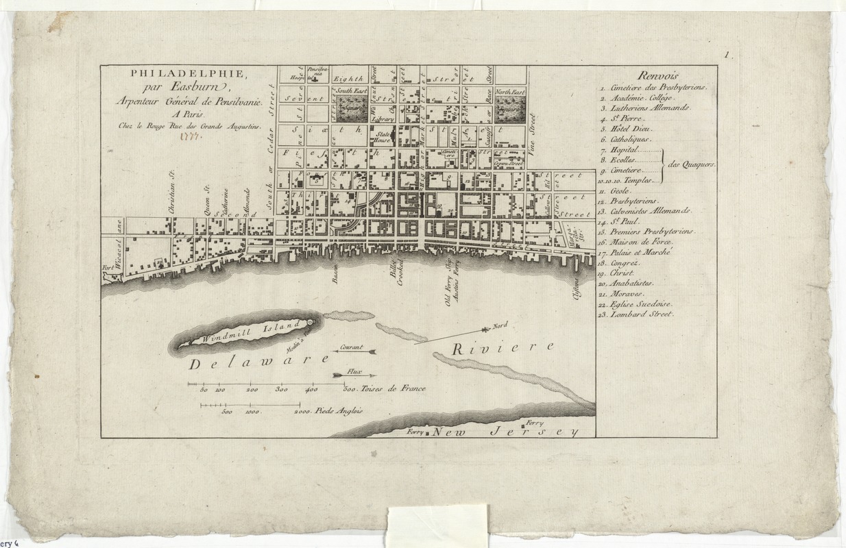
Philadelphie, par Easburn, arpenteur general de Pensilvanie
This map is also available in American Revolutionary Geographies Online (ARGO), a collections portal especially built for material relating to the American Revolutionary War Era. Visit ARGO to learn more about this item and explore the historical geography of North America in the late eighteenth century.
Item Information
- Title:
- Philadelphie, par Easburn, arpenteur general de Pensilvanie
- Creator:
- Le Rouge, Georges-Louis.
- Date:
-
[1776–1777]
- Format:
-
Maps/Atlases
- Location:
- George Washington's Mount Vernon
- Collection (local):
-
Richard H. Brown Revolutionary War Map Collection at Mount Vernon
- Subjects:
-
Philadelphia (Pa.)--Maps--Early works to 1800
- Places:
-
Philadelphia (county)Philadelphia
- Extent:
- 1 map ; 22 x 36 cm.
- Terms of Use:
-
No known copyright restrictions.
This work is licensed for use under a Creative Commons Attribution Non-Commercial Share Alike License (CC BY-NC-SA).

- Publisher:
-
Paris :
Chez Le Rouge
- Scale:
-
Scale [ca. 1:10,800]
- Language:
-
French
- Catalog Record:
-
MVLA record
- Notes:
-
Oriented with north toward the right.
Includes references to points of interest.
Erroneously attributed to Easburn. Cartography actually from the 1762 Clarkson-Biddle map surveyed by Nicholas Scull.
Bound in Le Rouge's Recueil des plan de l'Amerique Septentrionale.
In French.
- Notes (date):
-
This date is inferred.
- Identifier:
-
06_01_009545
- Barcode:
-
3000003863190x

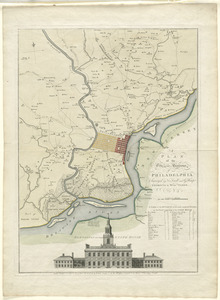

![[Environs of Philadelphia]](https://bpldcassets.blob.core.windows.net/derivatives/images/commonwealth:7h149x76d/image_thumbnail_300.jpg)
