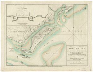
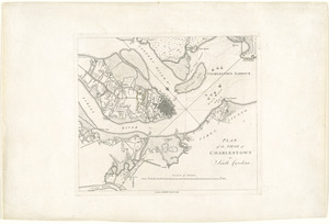
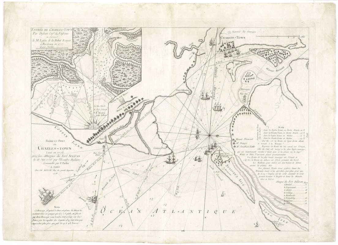
Barre et port de Charles-Town levé en 1776 : avec les attaques du Fort Sulivan du 28 juin 1776 par l'escadre anglaise commandée par P. Parker
This map is also available in American Revolutionary Geographies Online (ARGO), a collections portal especially built for material relating to the American Revolutionary War Era. Visit ARGO to learn more about this item and explore the historical geography of North America in the late eighteenth century.
Item Information
- Title:
- Barre et port de Charles-Town levé en 1776 : avec les attaques du Fort Sulivan du 28 juin 1776 par l'escadre anglaise commandée par P. Parker
- Contributor:
- Le Rouge, Georges-Louis
- Date:
-
1778
- Format:
-
Maps/Atlases
- Location:
- George Washington's Mount Vernon
- Collection (local):
-
Richard H. Brown Revolutionary War Map Collection at Mount Vernon
- Subjects:
-
Harbors--South Carolina--Charleston--Maps--Early works to 1800
Fort Moultrie, Battle of, S.C., 1776--Maps--Early works to 1800
Charleston (S.C.)--History--Revolution, 1775-1783--Maps--Early works to 1800
- Places:
-
Charleston (county)Charleston
- Extent:
- 1 map ; 45 x 62 cm.
- Terms of Use:
-
No known copyright restrictions.
This work is licensed for use under a Creative Commons Attribution Non-Commercial Share Alike License (CC BY-NC-SA).

- Publisher:
-
Paris :
Chez Le Rouge
- Scale:
-
Scale [ca. 1:34,000]
- Language:
-
French
- Catalog Record:
-
MVLA record
- Notes:
-
Relief shown pictorially. Depth shown by soundings.
Oriented with north to the right.
Inset: Entrée de Charles-Town par dessan Cape. des vaissaux au service de M. Lasson de la debat Ecuyer à Bordeaux en 1777.
Third state of the map, with inset and 2 notes.
- Identifier:
-
06_01_008154