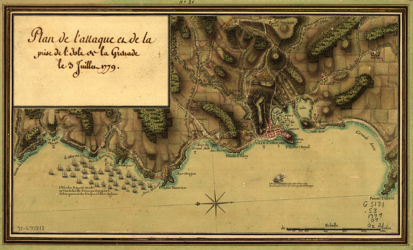
Plan de l'attaque et de la prise de l'isle de la Grenade le 3 juillet 1779
This map is also available in American Revolutionary Geographies Online (ARGO), a collections portal especially built for material relating to the American Revolutionary War Era. Visit ARGO to learn more about this item and explore the historical geography of North America in the late eighteenth century.
Item Information
- Title:
- Plan de l'attaque et de la prise de l'isle de la Grenade le 3 juillet 1779
- Creator:
- Ozanne, Pierre, 1737-1813
- Date:
-
[1779]
- Format:
-
Maps/Atlases
Manuscripts
- Location:
- Library of Congress Geography and Map Division
- Collection (local):
-
Library of Congress Collection
- Subjects:
-
Grenada, Battle of, 1779--Maps, Manuscript--Early works to 1800
Grenada--Maps, Manuscript--Early works to 1800
- Places:
-
Grenada
- Extent:
- 1 manuscript map : hand color 25 x 42 cm.
- Terms of Use:
-
No known copyright restrictions.
This work is licensed for use under a Creative Commons Attribution Non-Commercial Share Alike License (CC BY-NC-SA).

- Scale:
-
Scale ca. 1:30,000
- Language:
-
French
- Catalog Record:
-
https://lccn.loc.gov/75695818
- Notes:
-
Manuscript, pen-and-ink, watercolor, and gilt.
Relief shown by shading.
Oriented with north toward the lower left.
Pictorial map.
Includes descriptive notes.
- Notes (date):
-
This date is inferred.
- Notes (citation):
-
LC Maps of North America, 1750-1789, 2107
LC Luso-Hispanic World, 431
- Identifier:
-
ct000324


