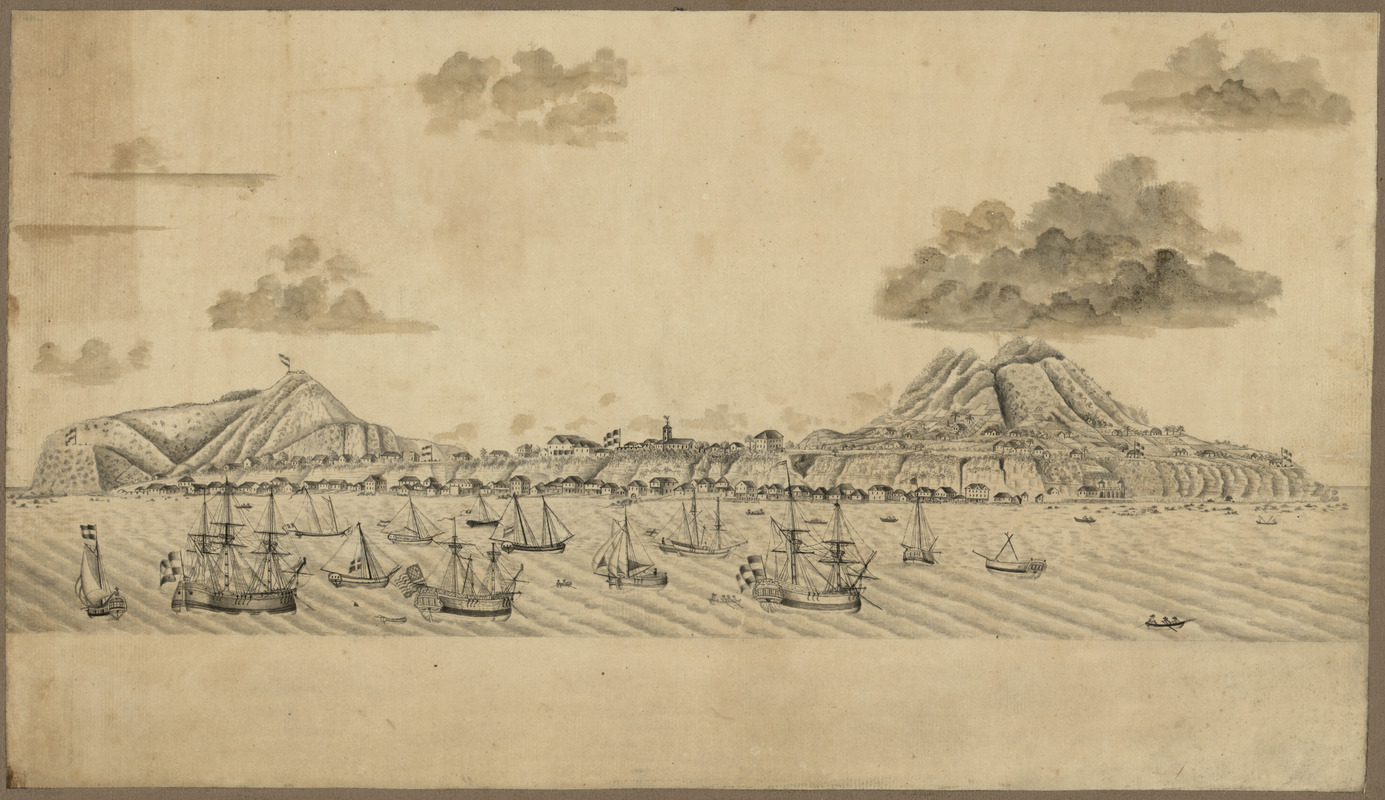
St. Eustatius, Leeward Islands
This map is also available in American Revolutionary Geographies Online (ARGO), a collections portal especially built for material relating to the American Revolutionary War Era. Visit ARGO to learn more about this item and explore the historical geography of North America in the late eighteenth century.
Item Information
- Title:
- St. Eustatius, Leeward Islands
- Date:
-
[1770?–1779?]
- Format:
-
Maps/Atlases
Manuscripts
- Location:
- Library of Congress Geography and Map Division
- Collection (local):
-
Library of Congress Collection
- Subjects:
-
Sint Eustatius--Aerial views--Early works to 1800
Harbors--Sint Eustatius--Maps--Early works to 1800
Sint Eustatius--Maps--Early works to 1800
West Indies (Federation)--Maps--Early works to 1800
- Places:
-
Sint Eustatius (island)
- Extent:
- 1 ms. view : mounted on cloth backing ; 49 x 28 cm.
- Terms of Use:
-
No known copyright restrictions.
This work is licensed for use under a Creative Commons Attribution Non-Commercial Share Alike License (CC BY-NC-SA).

- Scale:
-
Not drawn to scale
- Language:
-
English
- Catalog Record:
-
https://lccn.loc.gov/2012590109
- Notes:
-
Shows aerial view of the port of Sint Eustatius in the northern Leeward Islands of the West Indies including buildings, ships, and fortifications.
Relief shown pictorially.
Bird's-eye-view.
Pen-and-ink and pencil.
In ink on paper slip affixed to cloth backing on verso: St. Eustatius, no. 157.
Imperfect: Staining in left margin.
- Identifier:
-
ct003601


