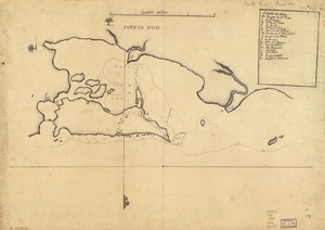
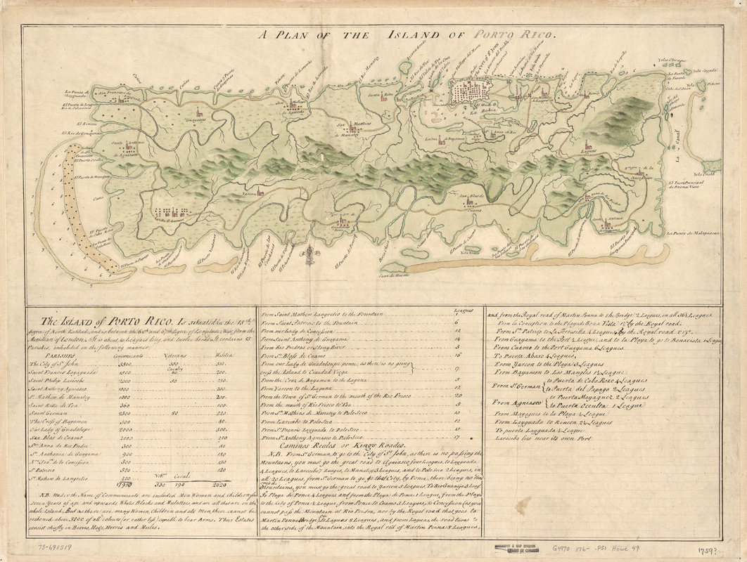
A Plan of the island of Porto Rico
This map is also available in American Revolutionary Geographies Online (ARGO), a collections portal especially built for material relating to the American Revolutionary War Era. Visit ARGO to learn more about this item and explore the historical geography of North America in the late eighteenth century.
Item Information
- Title:
- A Plan of the island of Porto Rico
- Date:
-
[1760?–1769?]
- Format:
-
Maps/Atlases
Manuscripts
- Location:
- Library of Congress Geography and Map Division
- Collection (local):
-
Library of Congress Collection
- Subjects:
-
Puerto Rico--Maps, Manuscript--Early works to 1800
Puerto Rico--Population--Maps--Early works to 1800
Manuscript maps--Early works to 1800
- Places:
-
Puerto Rico
- Extent:
- 1 manuscript map : hand color 25 x 61 cm. on sheet 50 x 66 cm.
- Terms of Use:
-
No known copyright restrictions.
This work is licensed for use under a Creative Commons Attribution Non-Commercial Share Alike License (CC BY-NC-SA).

- Scale:
-
Scale ca. 1:3,400,000
- Language:
-
English
- Catalog Record:
-
https://lccn.loc.gov/73691519
- Notes:
-
Manuscript, pen-and-ink and watercolor.
Relief shown pictorially. Depths shown by soundings.
Includes text, distance chart, and population table, which gives the number of communicants, veterans, and militia by parish.
- Notes (citation):
-
LC Luso-Hispanic World, 753
- Identifier:
-
lh000753