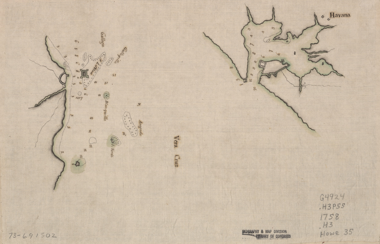
Havana : Vera Cruz
This map is also available in American Revolutionary Geographies Online (ARGO), a collections portal especially built for material relating to the American Revolutionary War Era. Visit ARGO to learn more about this item and explore the historical geography of North America in the late eighteenth century.
Item Information
- Title:
- Havana : Vera Cruz
- Date:
-
[1758?]
- Format:
-
Maps/Atlases
Manuscripts
- Location:
- Library of Congress Geography and Map Division
- Collection (local):
-
Library of Congress Collection
- Subjects:
-
Harbors--Cuba--Havana--Maps--Early works to 1800
Veracruz Region (Veracruz-Llave, Mexico)--Maps, Manuscript--Early works to 1800
- Places:
-
Havana (province)Havana
VeracruzVeracruz
- Extent:
- 2 col. maps on sheet 21 x 31 cm.
- Terms of Use:
-
No known copyright restrictions.
This work is licensed for use under a Creative Commons Attribution Non-Commercial Share Alike License (CC BY-NC-SA).

- Scale:
-
Scale ca. 1:75,000 and 1:200,000
- Language:
-
English
- Catalog Record:
-
https://lccn.loc.gov/73691502
- Notes:
-
Title on verso: Havana & Vera Cruz, 128.
Manuscript, pen-and-ink and watercolor, on tracing paper.
Soundings shown in fathoms.
- Notes (citation):
-
LC Maps of North America, 1750-1789, 1807
LC Luso-Hispanic World, 347
- Identifier:
-
ar180700


