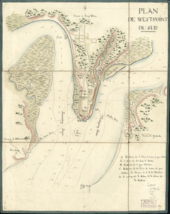
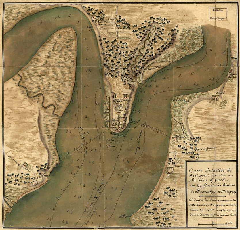
Carte detaillée de West Point sur la rivière d'York au confluent des Rivières de Pamunkey et Matapony
This map is also available in American Revolutionary Geographies Online (ARGO), a collections portal especially built for material relating to the American Revolutionary War Era. Visit ARGO to learn more about this item and explore the historical geography of North America in the late eighteenth century.
Item Information
- Title:
- Carte detaillée de West Point sur la rivière d'York au confluent des Rivières de Pamunkey et Matapony
- Date:
-
[1781?]
- Format:
-
Maps/Atlases
Manuscripts
- Location:
- Library of Congress Geography and Map Division
- Collection (local):
-
Library of Congress Collection
- Subjects:
-
West Point (Va.)--Maps, Manuscript--Early works to 1800
Nautical charts--Virginia--York River--Early works to 1800
- Places:
-
York (river)
King William (county)West Point
- Extent:
- 1 manuscript map : hand color 32 x 33 cm.
- Terms of Use:
-
No known copyright restrictions.
This work is licensed for use under a Creative Commons Attribution Non-Commercial Share Alike License (CC BY-NC-SA).

- Scale:
-
Scale ca. 1:20,000
- Language:
-
French
- Catalog Record:
-
https://lccn.loc.gov/gm71002171
- Notes:
-
Title on verso: West Point sur le riviere d'York au confluent du Pamunkey et du Matapony.
Manuscript, pen-and-ink and watercolor.
Relief shown by shading. Depths shown by soundings.
Shows ferry routes, ship channels, and names of landholders.
- Notes (citation):
-
LC Maps of North America, 1750-1789, 1460
- Identifier:
-
ar146000