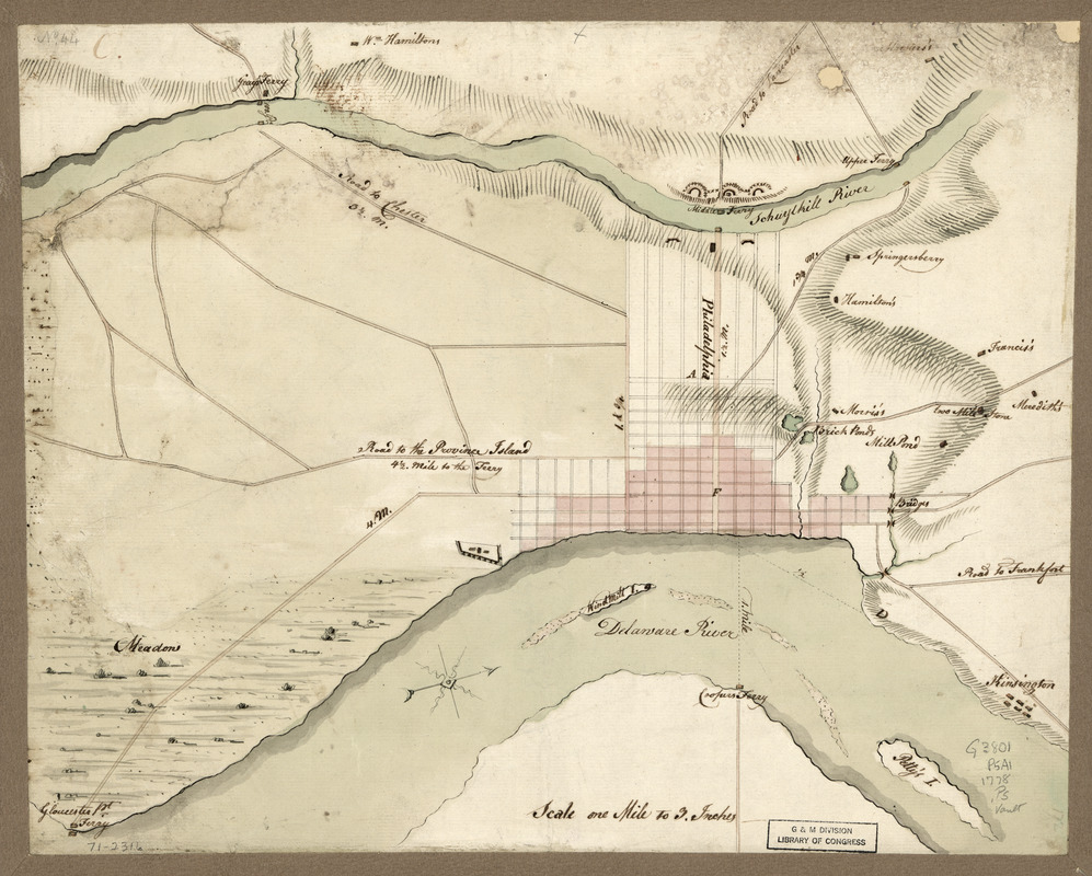
Philadelphia and vicinity. Military
This map is also available in American Revolutionary Geographies Online (ARGO), a collections portal especially built for material relating to the American Revolutionary War Era. Visit ARGO to learn more about this item and explore the historical geography of North America in the late eighteenth century.
Item Information
- Title:
- Philadelphia and vicinity. Military
- Date:
-
[1778?]
- Format:
-
Maps/Atlases
Manuscripts
- Location:
- Library of Congress Geography and Map Division
- Collection (local):
-
Library of Congress Collection
- Subjects:
-
Philadelphia (Pa.)--Maps--Early works to 1800
Fortification--Pennsylvania--Philadelphia Region--Maps--Early works to 1800
- Places:
-
Philadelphia (county)Philadelphia
- Extent:
- 1 manuscript map : hand color on sheet 32 x 40 cm.
- Terms of Use:
-
No known copyright restrictions.
This work is licensed for use under a Creative Commons Attribution Non-Commercial Share Alike License (CC BY-NC-SA).

- Scale:
-
Scale 1:21,120
- Language:
-
English
- Catalog Record:
-
https://lccn.loc.gov/gm71002316
- Notes:
-
Title from manuscript catalog of Peter Force map collection.
Manuscript, pen-and-ink and watercolor.
Relief shown by hachures.
Oriented with north toward the upper right.
Shows fortifications opposite Windmill Island and at the Middle Ferry across the Schuylkill River. Some land owners are identified.
- Notes (citation):
-
LC Maps of North America, 1750-1789, 1325
- Identifier:
-
ar132500

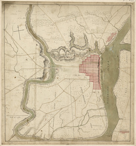
![[Environs of Philadelphia]](https://bpldcassets.blob.core.windows.net/derivatives/images/commonwealth:7h149x76d/image_thumbnail_300.jpg)
