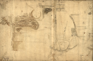
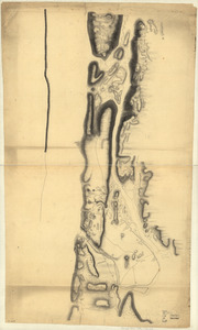
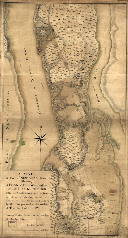
A map of part of New-York Island showing a plan of Fort Washington : now call'd Ft. Kniphausen with the rebels lines on the south part, from which they were driven on the 16th of November 1776 by the troupes under the orders of the Earl of Percy
This map is also available in American Revolutionary Geographies Online (ARGO), a collections portal especially built for material relating to the American Revolutionary War Era. Visit ARGO to learn more about this item and explore the historical geography of North America in the late eighteenth century.
Item Information
- Title:
- A map of part of New-York Island showing a plan of Fort Washington : now call'd Ft. Kniphausen with the rebels lines on the south part, from which they were driven on the 16th of November 1776 by the troupes under the orders of the Earl of Percy
- Title (alt.):
-
New-York Island
- Creator:
- Sauthier, Claude Joseph
- Name on Item:
-
Survey'd the same day by order of His Lordship by C. J. Sauthier
- Date:
-
[1776]
- Format:
-
Maps/Atlases
Manuscripts
- Location:
- Library of Congress Geography and Map Division
- Collection (local):
-
Library of Congress Collection
- Subjects:
-
Manhattan (New York, N.Y.)--Maps, Manuscript--Early works to 1800
- Places:
-
New YorkManhattan
- Extent:
- 1 manuscript map : hand color, 75 x 40 cm.
- Terms of Use:
-
No known copyright restrictions.
This work is licensed for use under a Creative Commons Attribution Non-Commercial Share Alike License (CC BY-NC-SA).

- Scale:
-
Scale ca. 1:9,300
- Language:
-
English
- Catalog Record:
-
https://lccn.loc.gov/gm71000653
- Notes:
-
Manuscript, pen-and-ink and watercolor.
Has watermarks.
Relief shown by hachures.
- Notes (date):
-
This date is inferred.
- Notes (citation):
-
LC Maps of North America, 1750-1789, 1162
- Identifier:
-
ar116200