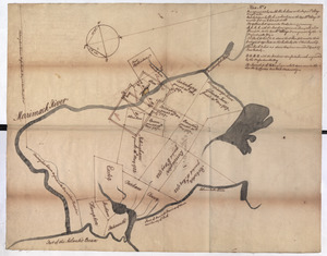
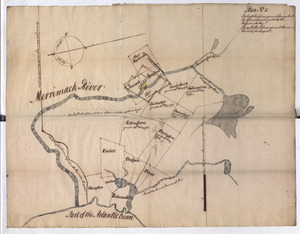
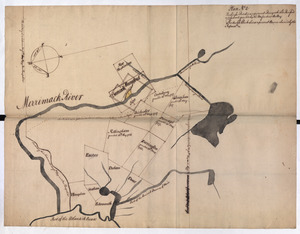
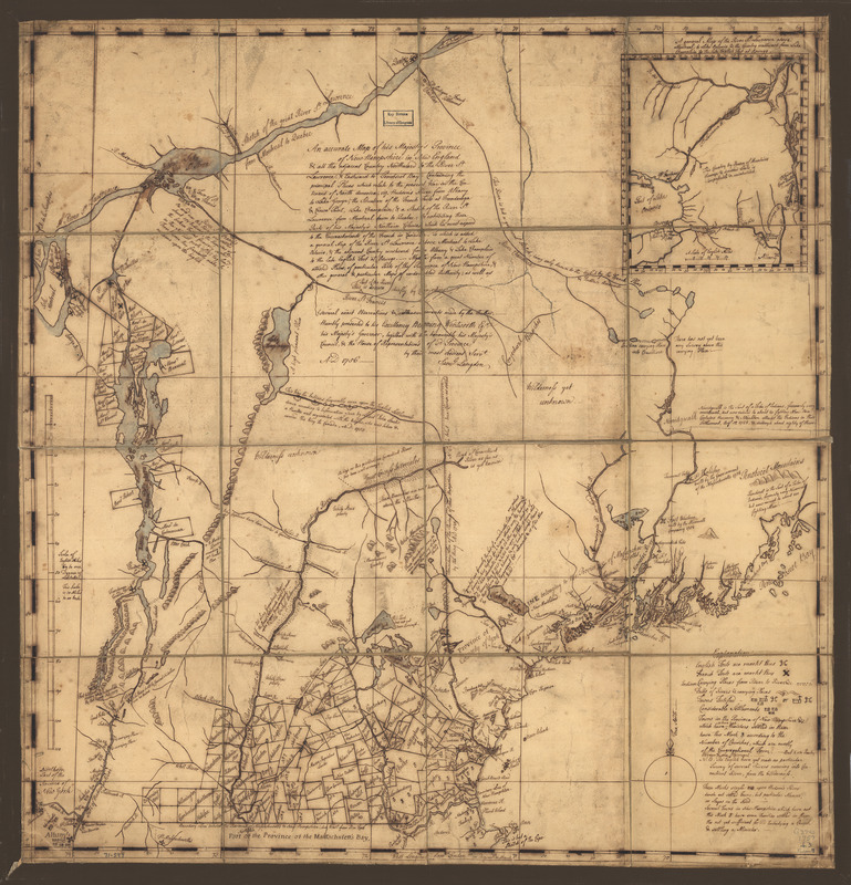
An accurate map of His Majesty's Province of New-Hampshire in New England & all the adjacent country northward to the River St. Lawrence, & eastward to Penobscot Bay : containing the principal places which relate to the present war on the continent of North America
This map is also available in American Revolutionary Geographies Online (ARGO), a collections portal especially built for material relating to the American Revolutionary War Era. Visit ARGO to learn more about this item and explore the historical geography of North America in the late eighteenth century.
Item Information
- Title:
- An accurate map of His Majesty's Province of New-Hampshire in New England & all the adjacent country northward to the River St. Lawrence, & eastward to Penobscot Bay : containing the principal places which relate to the present war on the continent of North America
- Creator:
- Langdon, Samuel, 1723-1797
- Name on Item:
-
By Saml. Langdon
- Date:
-
[1757]
- Format:
-
Maps/Atlases
Manuscripts
- Location:
- Library of Congress Geography and Map Division
- Collection (local):
-
Library of Congress Collection
- Subjects:
-
New Hampshire--Maps, Manuscript--Early works to 1800
Vermont--Maps, Manuscript--Early works to 1800
New Hampshire--Administrative and political divisions--Maps, Manuscript--Early works to 1800
Vermont--Administrative and political divisions--Maps, Manuscript--Early works to 1800
- Places:
-
Vermont
New Hampshire
- Extent:
- 1 manuscript map : hand color 68 x 71 cm.
- Terms of Use:
-
No known copyright restrictions.
This work is licensed for use under a Creative Commons Attribution Non-Commercial Share Alike License (CC BY-NC-SA).

- Scale:
-
Scale 1:633,600
- Language:
-
English
- Catalog Record:
-
https://lccn.loc.gov/gm71000597
- Notes:
-
Manuscript, pen-and-ink and watercolor.
Prime meridian: London.
Relief shown pictorially.
Shows "Fort William Henry taken & demolished by the French A:D: 1757."
Includes inscription to "His Excellency Benning Wentworth, Eqr., His Majesty's Governor," numerous historical and descriptive notes and inset "A general map of the River St. Lawrence above Montreal, to Lake Ontario, & the country westward from lake Champlain to the late English fort at Oswege," ca. 1:2,500,000.
- Notes (date):
-
This date is inferred.
- Notes (citation):
-
LC Maps of North America, 1750-1789, 869
- Identifier:
-
ar086900z