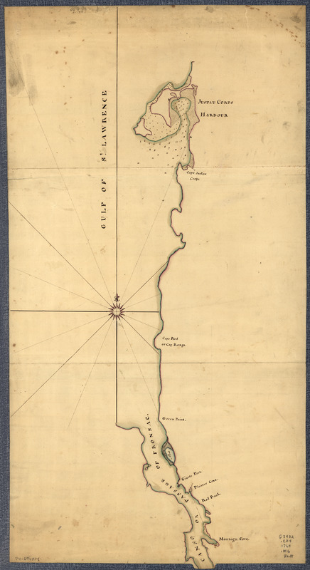
Northern part of the Gut of Canso : part of the island of Cape Bocton
This map is also available in American Revolutionary Geographies Online (ARGO), a collections portal especially built for material relating to the American Revolutionary War Era. Visit ARGO to learn more about this item and explore the historical geography of North America in the late eighteenth century.
Item Information
- Title:
- Northern part of the Gut of Canso : part of the island of Cape Bocton
- Title (alt.):
-
Gut of Canso
- Creator:
- Morris, Charles, (Surveyor)
- Name on Item:
-
by Mr. Morris, 1764
- Date:
-
[1764]
- Format:
-
Maps/Atlases
Manuscripts
- Location:
- Library of Congress Geography and Map Division
- Collection (local):
-
Library of Congress Collection
- Subjects:
-
Canso, Strait of (N.S.)--Maps, Manuscript--Early works to 1800
- Places:
-
CanadaCanso, Strait of
- Extent:
- 1 manuscript map : hand color ; 94 x 51 cm.
- Terms of Use:
-
No known copyright restrictions.
This work is licensed for use under a Creative Commons Attribution Non-Commercial Share Alike License (CC BY-NC-SA).

- Scale:
-
Scale not given
- Language:
-
English
- Catalog Record:
-
https://lccn.loc.gov/74694514
- Notes:
-
Title from annotation on verso.
Manuscript, pen-and-ink and watercolor.
Depths shown by soundings.
Has watermark.
Annotated on verso: Purchased out of Lord Colvil's collection.
- Notes (date):
-
This date is inferred.
- Notes (citation):
-
LC Maps of North America, 1750-1789, 375
- Identifier:
-
ar037500z


