Atlas of the city of Boston : city proper : plate 61
Item Information
- Title:
- Atlas of the city of Boston : city proper : plate 61
- Description:
-
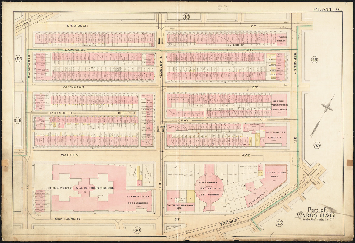
The Boston Common and Public Garden, two of the city’s most public spaces, have become a place to remember and honor the city’s past. This map sheet from an 1888 real estate atlas locates many of these memorials, dating back to the colonial-era Central Burying Ground, which is identified on the southern side of the Common. During the 19th century several monuments commemorating Civil War-related statesmen and heroes were added to the growing inventory. These included memorials to Charles Sumner, Edward Everett, and the soldiers and sailors who were casualties of the war, all of which are located and identified on this map.
- Creator:
- Bromley, George Washington
- Creator:
- Bromley, Walter Scott
- Date:
-
1888
- Format:
-
Maps/Atlases
- Location:
-
Boston Public Library
Norman B. Leventhal Map Center - Collection (local):
-
Norman B. Leventhal Map Center Collection
- Subjects:
-
Boston (Mass.)--Maps
Real property--Massachusetts--Boston--Maps
Landowners--Massachusetts--Boston--Maps
South End (Boston, Mass.)--Maps
- Places:
-
MassachusettsSuffolk (county)BostonSouth End
- Extent:
- 1 map : color ; 51 x 77 cm
- Terms of Use:
-
No known copyright restrictions.
No known restrictions on use.
- Publisher:
-
Philadelphia :
G.W. Bromley & Co.
- Scale:
-
Scale 1:600
- Language:
-
English
- Notes (exhibitions):
-
Exhibited: "Torn in Two: The 150th Anniversary of the Civil War" organized by the Norman B. Leventhal Map Center at the Boston Public Library, 2011.
- Identifier:
-
06_01_012849
- Call #:
-
G1234.B6 B7 1888 v.2
- Barcode:
-
39999059011104
![[Plan of boundary lines in Roxbury and the City of Boston]](https://bpldcassets.blob.core.windows.net/derivatives/images/commonwealth:1257bb127/image_thumbnail_300.jpg)


