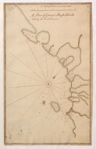
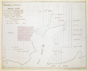
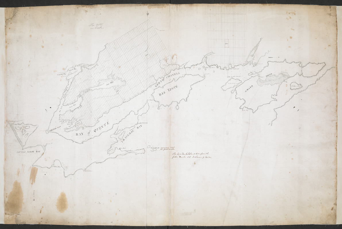
Plan of the Settlement on the Bay of Quinte
This map is also available in American Revolutionary Geographies Online (ARGO), a collections portal especially built for material relating to the American Revolutionary War Era. Visit ARGO to learn more about this item and explore the historical geography of North America in the late eighteenth century.
Item Information
- Title:
- Plan of the Settlement on the Bay of Quinte
- Former owner:
- Humfrey, Lieutenant
- Former owner:
- Royal United Services Institute for Defence and Security Studies
- Date:
-
[ca. 1783]
- Format:
-
Maps/Atlases
- Location:
- British Library
- Collection (local):
-
British Library Collection
- Subjects:
-
United Empire loyalists--Maps, Manuscript--Early works to 1800
Quinte, Bay of (Ont.)--Maps, Manuscript--Early works to 1800
- Places:
-
CanadaQuinte, Bay of
- Extent:
- 1 map on 2 sheets : joined, manuscript pen and ink with watercolour over pencil ; 68 x 102 cm
- Terms of Use:
-
No known copyright restrictions.
This work is licensed for use under a Creative Commons Attribution Non-Commercial Share Alike License (CC BY-NC-SA).

- Publisher:
-
[Place of production not identified] :
[producer not identified]
- Scale:
-
Scale not given
- Language:
-
English
- Catalog Record:
-
http://searcharchives.bl.uk/IAMS_VU2:IAMS040-001999740
- Notes:
-
Title from verso.
Date suggested relates to the resettlment of United Empire Loyalists in the Bay of Quinte.
Sounding depths are given.
Shows apportionment of land - numbered settlements.
Copy at Add Ms 57,710.3. In a solander box, R.U.S.I. Vol LXXV and LXXVIII. Comprises 2 sheets, joined and laid on linen. Green circular label to verso showing "41". White label to verso showing "DRAWER 28 SECTION 2". Shows "No 355" to verso in pencil. Pressmark stamped to verso in black ink. Title is given in ink on verso with a further note (by a different hand), "Presented to the United Sertvice Museum by Lt Humfrey Regt".
- Notes (date):
-
9999