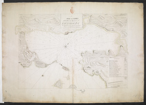
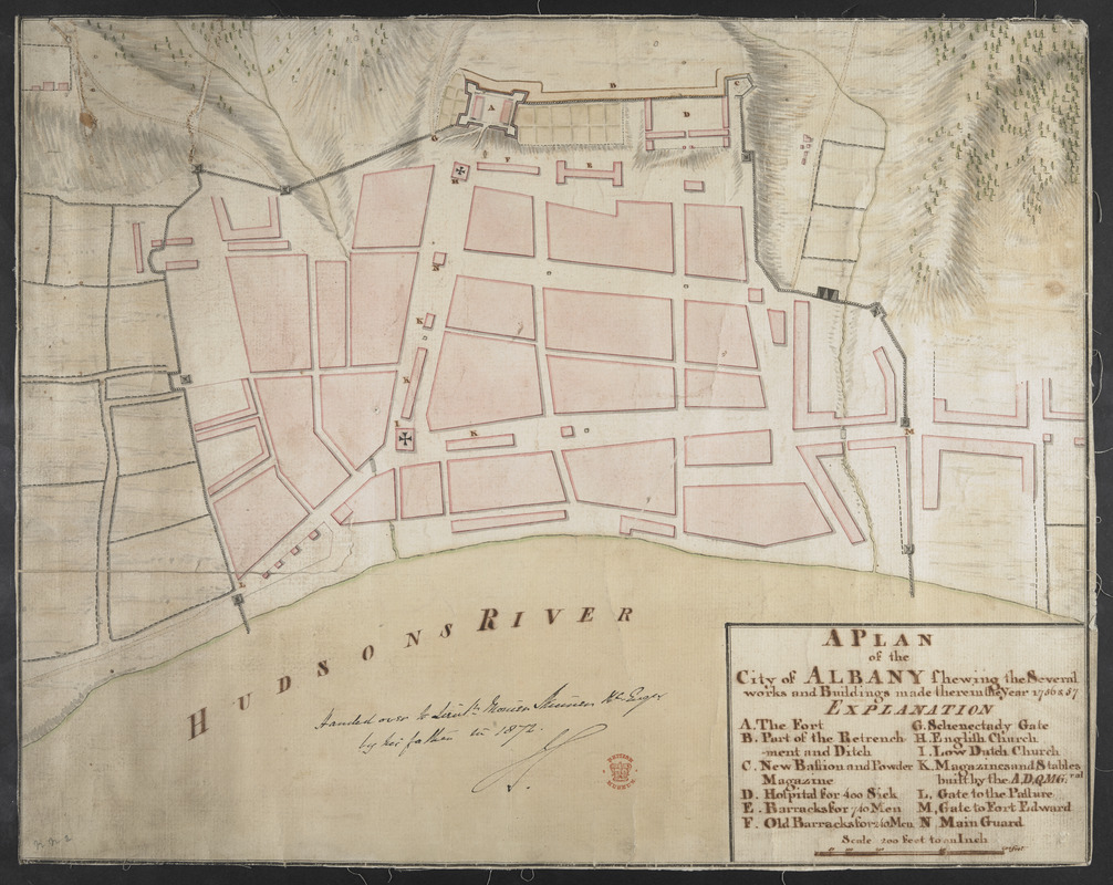
A PLAN of the City of ALBANY Shewing the Several works and Buildings made there in the Year 1756 & 57
This map is also available in American Revolutionary Geographies Online (ARGO), a collections portal especially built for material relating to the American Revolutionary War Era. Visit ARGO to learn more about this item and explore the historical geography of North America in the late eighteenth century.
Item Information
- Title:
- A PLAN of the City of ALBANY Shewing the Several works and Buildings made there in the Year 1756 & 57
- Former owner:
- Skinner, William, 1700-1780
- Former owner:
- Skinner, Monier
- Date:
-
[1757]
- Format:
-
Maps/Atlases
- Location:
- British Library
- Collection (local):
-
British Library Collection
- Subjects:
-
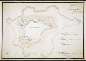
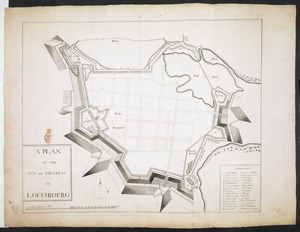
Fortification--Nova Scotia--Louisbourg--Maps, Manuscript--Early works to 1800
Albany (N.Y.)--Maps, Manuscript--Early works to 1800
- Places:
-
CanadaLouisbourg
Albany (county)Albany
- Extent:
- 1 map : manuscript pen and ink with watercolour ; 34 x 42 cm
- Terms of Use:
-
No known copyright restrictions.
This work is licensed for use under a Creative Commons Attribution Non-Commercial Share Alike License (CC BY-NC-SA).

- Publisher:
-
[Place of production not identified] :
[producer not identified]
- Scale:
-
Scale approximately 1:2,400
- Language:
-
English
- Catalog Record:
-
http://searcharchives.bl.uk/IAMS_VU2:IAMS040-002027390
- Notes:
-
Relief shown by hachuring and shading.
Shows title and lettered key (A-N) inside simple surround at lower right.
Compare Maps K.Top.121.42.
Copy at Add Ms 33,231.NN.2. A roll - laid on linen. Manuscript annotation at lower centre in black ink, "Handed over to Lieut. Monier Skinner R. Eng.r by his father in 1872" and initialled (by William Skinner?). Red stamp of British Museum at lower right. Pressmark stamped to verso and repeated in pencil.
- Notes (date):
-
9999
This date is inferred.