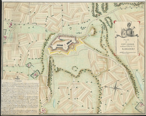
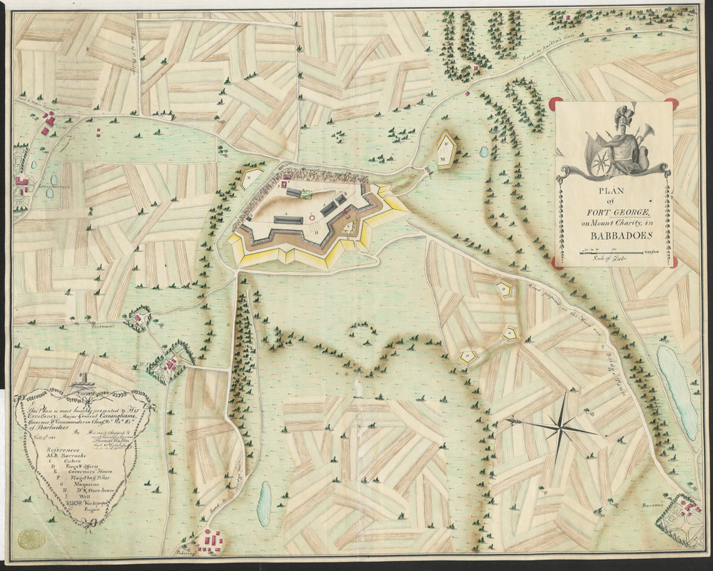
PLAN of FORT GEORGE, on Mount Charity, in BARBADOES
This map is also available in American Revolutionary Geographies Online (ARGO), a collections portal especially built for material relating to the American Revolutionary War Era. Visit ARGO to learn more about this item and explore the historical geography of North America in the late eighteenth century.
Item Information
- Title:
- PLAN of FORT GEORGE, on Mount Charity, in BARBADOES
- Surveyor:
- Walker, Thomas
- Former owner:
- George, III, King of Great Britain, 1738-1820
- Donor:
- George, IV, King of Great Britain, 1762-1830
- Date:
-
1782
- Format:
-
Maps/Atlases
Manuscripts
- Location:
- British Library
- Collection (local):
-
British Library Collection
- Subjects:
-
Fortification--Barbados--Maps, Manuscript--Early works to 1800
Barbados--Defences--Maps, Manuscript--Early works to 1800
Barbados--History--1775-1783--Maps, Manuscript--Early works to 1800
- Places:
-
BarbadosBarbados (island)
- Extent:
- 1 map : ink and watercolour over pencil ; 45 x 57 cm
- Terms of Use:
-
No known copyright restrictions.
This work is licensed for use under a Creative Commons Attribution Non-Commercial Share Alike License (CC BY-NC-SA).

- Scale:
-
Scale 1:1,380
- Catalog Record:
-
http://explore.bl.uk/BLVU1:LSCOP-ALL:BLL01004987042
- Notes:
-
A manuscript map of Barbados, created in the context of American Revolutionary War, 1775-1783, by Thomas Walker, Lieutenant of 60th Light Infantry.
Relief shown pictorially.
Dedicated to Major General James Cunningham, Commander-in-Chief and Governor of Barbados.
Includes a paper flap with remarks regarding positions and power of batteries on the island and giving a description of their defensive properties.
Oriented with East at the top.
Paper bears two watermarks of a shield with a fleur-de-li surmounted with a crown, number "4" and letters underneath, and "I*VILL[E]DARY".
Includes a key.