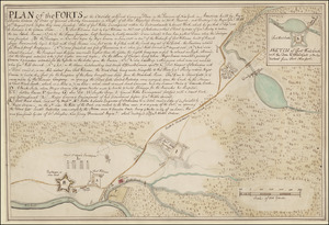
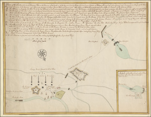
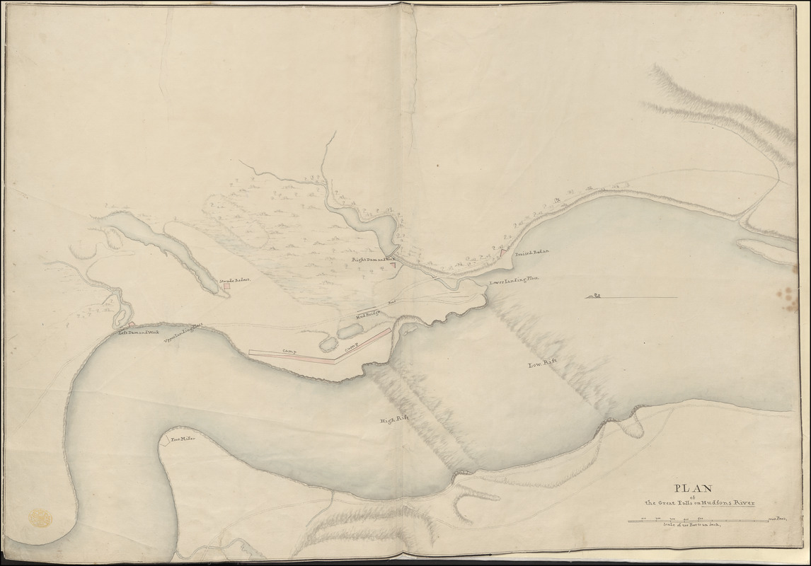
PLAN of the Great Falls on Hudsons River
This map is also available in American Revolutionary Geographies Online (ARGO), a collections portal especially built for material relating to the American Revolutionary War Era. Visit ARGO to learn more about this item and explore the historical geography of North America in the late eighteenth century.
Item Information
- Title:
- PLAN of the Great Falls on Hudsons River
- Former owner:
- George, III, King of Great Britain, 1738-1820
- Donor:
- George, IV, King of Great Britain, 1762-1830
- Date:
-
1758
- Format:
-
Maps/Atlases
Manuscripts
- Location:
- British Library
- Collection (local):
-
British Library Collection
- Subjects:
-
Fortification--New York (State)--Maps, Manuscript--Early works to 1800
Military art and science--New York (State)--Maps, Manuscript--Early works to 1800
Dams--New York (State)--Oneida County--Maps, Manuscript--Early works to 1800
Hudson River (N.Y. and N.J.)--Maps, Manuscript--Early works to 1800
- Places:
-
Hudson River
Oneida (county)
- Extent:
- 1 map : manuscript pen and ink with watercolour ; 50 x 72 cm
- Terms of Use:
-
No known copyright restrictions.
This work is licensed for use under a Creative Commons Attribution Non-Commercial Share Alike License (CC BY-NC-SA).

- Scale:
-
Scale approximately 1:2,400
- Language:
-
English
- Catalog Record:
-
http://explore.bl.uk/BLVU1:LSCOP-ALL:BLL01004987742
- Notes:
-
Previous British Library cataloguing has attributed a date of about 1758 to this map.
Relief is shown by shading.
With a "Scale of 200 Feet to an Inch" given at lower right.
Shows dams.
Shows landing places.
Shows an outline for Fort Miller.
Titled "A drawn Plan of the Great Falls on Hudson's River" in the Catalogue of Maps, Prints, Drawings, etc., forming the geographical and topographical collection attached to the Library of his late Majesty King George the third, etc., London, 1829.
Titled 'A "plan of the Great Falls on Hudson's River," shewing the position of the camp and redoubts; drawn about 1758, on a scale of 200 feet to an inch: 2 f. 4 in. x 1 f. 8 in." in the Catalogue of the manuscript maps, charts, and plans, and of the topographical drawings in the British Museum.