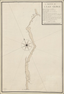
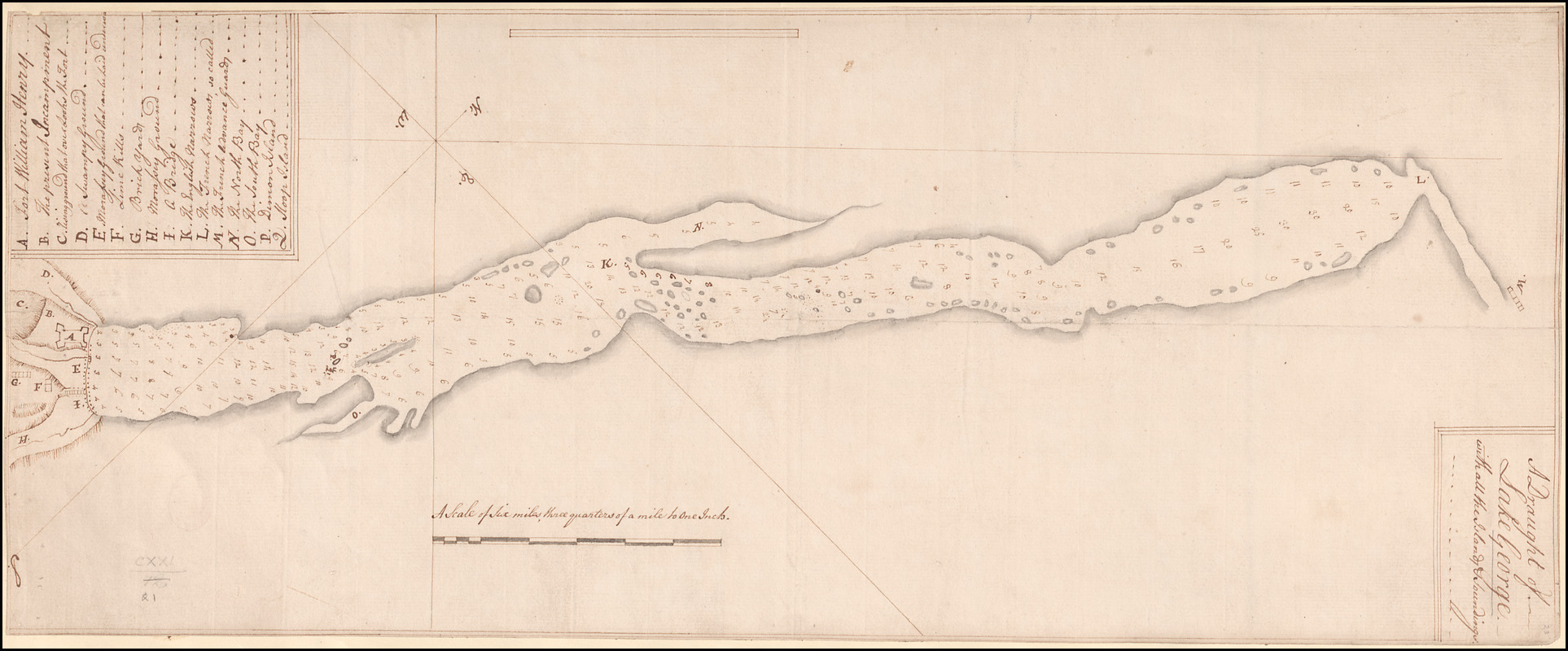
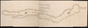
A Draught of Lake George with all the Islands & Soundings
This map is also available in American Revolutionary Geographies Online (ARGO), a collections portal especially built for material relating to the American Revolutionary War Era. Visit ARGO to learn more about this item and explore the historical geography of North America in the late eighteenth century.
Item Information
- Title:
- A Draught of Lake George with all the Islands & Soundings
- Former owner:
- George, III, King of Great Britain, 1738-1820
- Donor:
- George, IV, King of Great Britain, 1762-1830
- Surveyor:
- Jackson, P., Captain
- Date:
-
1756
- Format:
-
Maps/Atlases
Manuscripts
- Location:
- British Library
- Collection (local):
-
British Library Collection
- Subjects:
-
Lakes--New York (State)--George, Lake (Lake)--Maps, Manuscript--Early works to 1800
George, Lake (N.Y. : Lake)--Maps, Manuscript--Early works to 1800
Fort William Henry (N.Y.)--Maps, Manuscript--Early works to 1800
United States--History--French and Indian War, 1754-1763--Maps, Manuscript--Early works to 1800
- Places:
-
George, Lake
Warren (county)Fort William Henry (area)
- Extent:
- 1 map : manuscript pen and ink with watercolour ; 60 x 24 cm
- Terms of Use:
-
No known copyright restrictions.
This work is licensed for use under a Creative Commons Attribution Non-Commercial Share Alike License (CC BY-NC-SA).

- Scale:
-
Scale approximately 1:47,520
- Language:
-
English
- Catalog Record:
-
http://explore.bl.uk/BLVU1:LSCOP-ALL:BLL01004987756
- Notes:
-
Previous British Library cataloguing has attributed a date of about 1760 to this map, but Fort William Henry is depicted and named - the fort's construction was ordered in 1755 and the fort was destroyed in 1757, thus a date of about 1756 is attributed here.
This manuscript map bears many similarities with the printed inset "A PARTICULAR PLAN OF LAKE GEORGE Surveyed in 1756. BY CAPT. JACKSON" on "A SURVEY OF LAKE CHAMPLAIN including LAKE GEORGE, CROWN POINT AND ST. JOHN /Surveyed by Order of HIS EXCELLENCY MAJOR-GENERAL SR. JEFFERY AMHERST, Knight of the most Hon.ble order of the Bath, Commander in Chief of His Majesty's Forces in North America, (now LORD AMHERST) BY WILLIAM BRASSIER, DRAUGHTSMAN. 1762" (London: Printed for Rob.t Sayer & Jn. Bennett, Map and Sea chartsellers No. 53 Fleet Street. as the Act directs, Aug.st 5th 1776) - a copy is held at Maps K.Top.121.18. Both maps show sounding depths and are accompanied by a lettered key identifying similar locations of note including Fort William Henry.
"A Scale of five miles, three quarters of a mile to one Inch" is given.
If the map's title is said to appear in a simple surround at upper right, then at lower left is an upside-down lettered key (A-Q) identifying locations of note on the map, many with reference to Fort William Henry.
A photocopy of this map (Maps K.Top.121.21.) is held by the Université du Québec à Trois-Rivières UQTR with OCLC Number: 301652215. The copy is catalogued as having been published in "Ottawa : Archives publiques du Canada, 1975" with responsibility attributed to "[Capt. Jackson]".
Titled "A draught of Lake George, with all the Islands and Soundings" in the Catalogue of Maps, Prints, Drawings, etc., forming the geographical and topographical collection attached to the Library of his late Majesty King George the third, etc., London, 1829.
Titled "A draught of Lake George, with all the islands and soundings;" drawn about 1760, on a scale of 3/4 mile to an inch: 2 f. x 9 1/2 in. in the Catalogue of the manuscript maps, charts, and plans, and of the topographical drawings in the British Museum.

![[A map of Lake George from Fort William Henry to Ticonderoga]](https://bpldcassets.blob.core.windows.net/derivatives/images/commonwealth:hx11z3380/image_thumbnail_300.jpg)