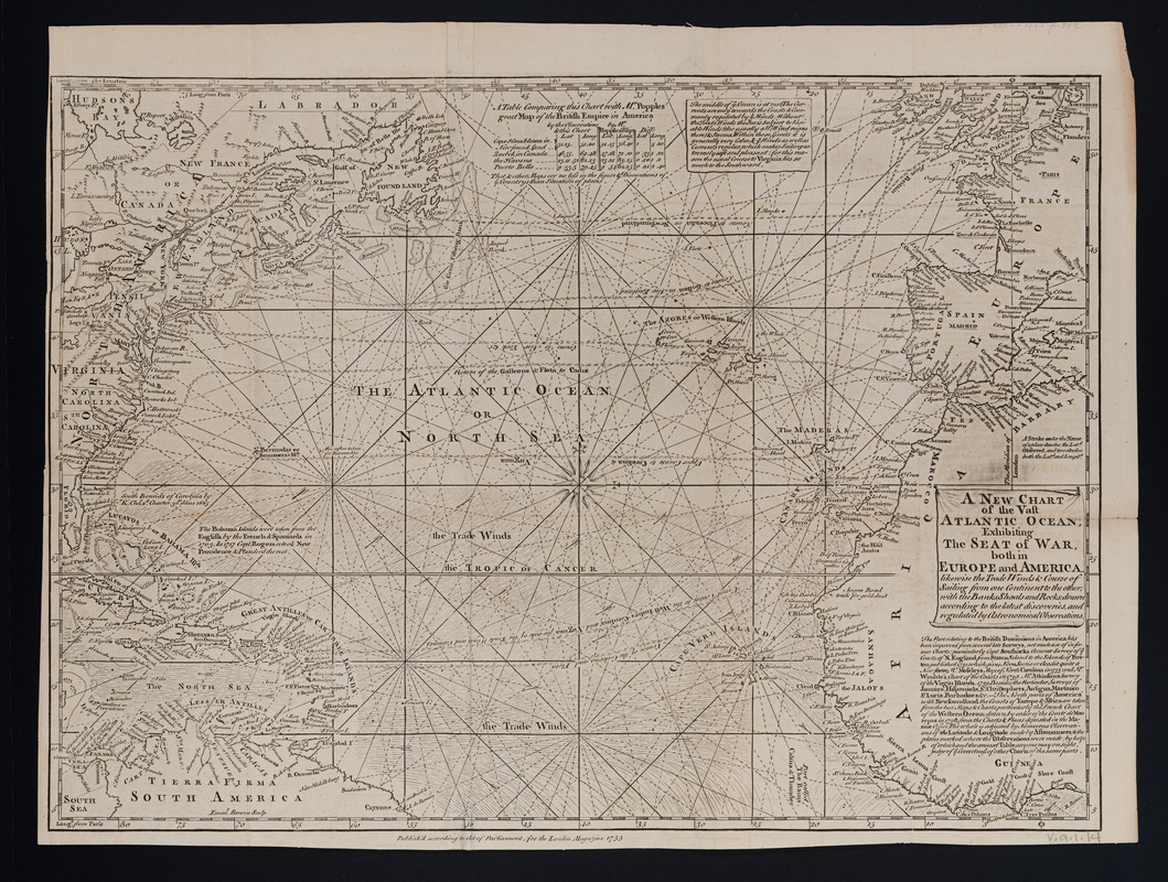
A new chart of the vast Atlantic Ocean
This map is also available in American Revolutionary Geographies Online (ARGO), a collections portal especially built for material relating to the American Revolutionary War Era. Visit ARGO to learn more about this item and explore the historical geography of North America in the late eighteenth century.
Item Information
- Title:
- A new chart of the vast Atlantic Ocean
- Title (alt.):
-
London magazine, or, Gentleman's monthly intelligencer (1747)
- Creator:
- Bowen, Emanuel, -1767
- Name on Item:
-
Emanl. Bowen, sculp.
- Date:
-
1755
- Format:
-
Maps/Atlases
- Location:
- Massachusetts Historical Society
- Collection (local):
-
Massachusetts Historical Society Collection
- Subjects:
-
North Atlantic Ocean--Maps--Early works to 1800
Nautical charts--North Atlantic Ocean--Early works to 1800
Trade winds--North Atlantic Ocean--Maps--Early works to 1800
Trade routes--North Atlantic Ocean--Maps--Early works to 1800
- Places:
-
Atlantic Ocean
- Extent:
- 1 map : hand col. ; 30 x 42 cm.
- Terms of Use:
-
No known copyright restrictions.
This work is licensed for use under a Creative Commons Attribution Non-Commercial Share Alike License (CC BY-NC-SA).

- Publisher:
-
London :
Publish'd according to Act of Parliament, for the London Magazine
- Scale:
-
Scale [ca. 1:18,000,000]
- Language:
-
English
- Catalog Record:
-
http://balthazaar.masshist.org/cgi-bin/Pwebrecon.cgi?DB=local&BBID=188171
- Notes:
-
Relief shown pictorially.
Prime meridians: London and Paris.
Includes text, notes, and "A table comparing this chart with Mr. Popples great map ..."


