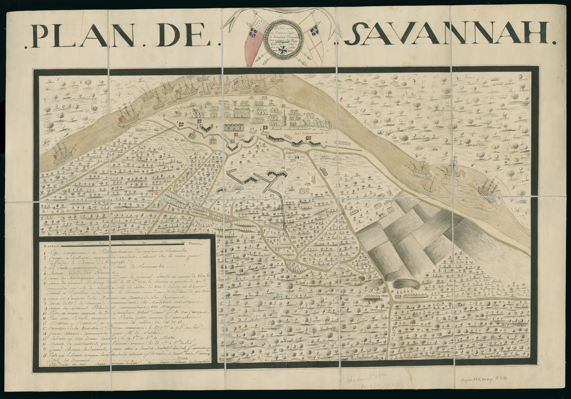
Plan de Savannah
This map is also available in American Revolutionary Geographies Online (ARGO), a collections portal especially built for material relating to the American Revolutionary War Era. Visit ARGO to learn more about this item and explore the historical geography of North America in the late eighteenth century.
Item Information
- Title:
- Plan de Savannah
- Description:
-
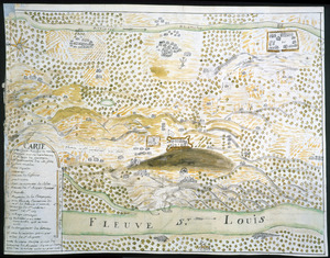
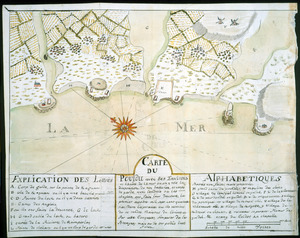
Map of Savannah, Georgia detailing the defeat of allied French and American forces against British forces on October 9, 1779. Legend keyed to 18 numbered sites, including army camps, earthworks, ships, and prominent buildings (shown pictorially).
- Contributor:
- Dampierre, Brigadier, fl. 1779
- Date:
-
1780
- Format:
-
Maps/Atlases
Manuscripts
- Location:
- Newberry Library
- Collection (local):
-
Edward E. Ayer Manuscript Map Collection
- Subjects:
-
Manuscript maps--Early works to 1800
Savannah (Ga.)--History--Siege, 1779--Maps--Early works to 1800
Savannah (Ga.)--Maps--Early works to 1800
- Places:
-
GeorgiaChatham (county)Savannah
- Extent:
- 1 ms. map : hand col. ; 350 x 593 mm.
- Terms of Use:
-
No known copyright restrictions.
Contact host institution for more information.
- Scale:
-
Scale [ca. 1:7,900]
- Language:
-
French
- Catalog Record:
-
https://i-share-nby.primo.exlibrisgroup.com/permalink/01CARLI_NBY/i5mcb2/alma991447188805867
- Notes:
-
Dedíe a Mr. le Commandeur de Dampierre, Briguadier [sic] des armees du Roy.
Pen-and-ink, watercolor, and wash (yellow, green, red). Sectioned into 10 panels, mounted on cloth.
- Notes (date):
-
fait en 1780, le 15 juin
- Call #:
-
Ayer MS map 235 (NLO)