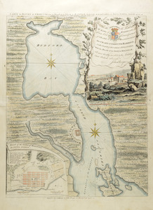
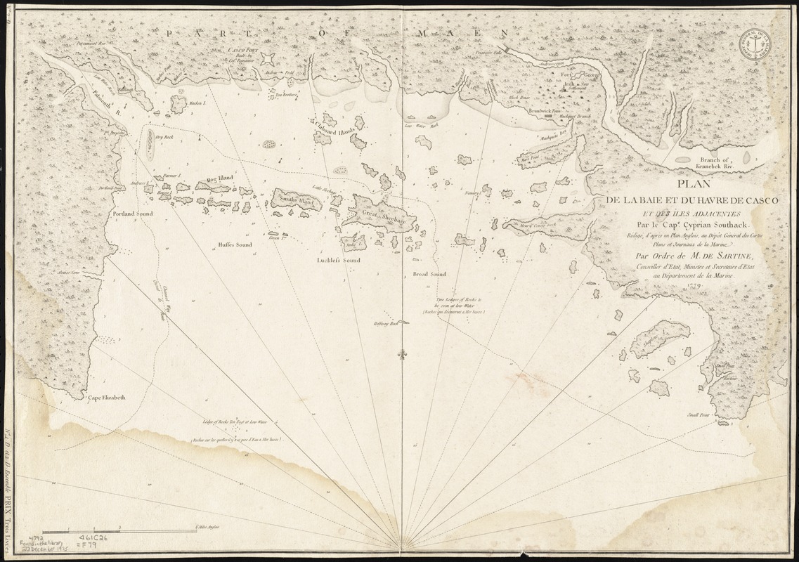
Plan de la baie et du havre de Casco et des îles adjacentes
This map is also available in American Revolutionary Geographies Online (ARGO), a collections portal especially built for material relating to the American Revolutionary War Era. Visit ARGO to learn more about this item and explore the historical geography of North America in the late eighteenth century.
Item Information
- Title:
- Plan de la baie et du havre de Casco et des îles adjacentes
- Cartographer:
- Southack, Cyprian, 1662-1745
- Contributor:
- Sartine, Antoine de, comte d'Alby, 1729-1801
- Contributor:
- France. Dépôt des cartes et plans de la marine
- Name on Item:
-
par Cyprian Southack. Rédigé, d'après un plan anglois, au Dépôt général des cartes, plans et journaux de la marine. Par ordre de M. de Sartine, conseiller d'Etat, ministre et secretaire d'Etat au Département de la marine.
- Date:
-
[1779?]
- Format:
-
Maps/Atlases
- Genre:
-
Nautical charts
- Location:
- Boston Athenaeum
- Collection (local):
-
Cartographic Collection
- Subjects:
-
Casco Bay (Me.)--Maps--Early works to 1800
Nautical charts--Maine--Casco Bay--Early works to 1800
Harbors--Maine--Casco Bay--Maps--Early works to 1800
- Places:
-
Cumberland (county)Casco Bay
- Extent:
- 1 map ; 41 x 58 cm.
- Terms of Use:
-
Collection of the Boston Athenaeum. May not be reproduced or quoted without written permission. For more information, see http://www.bostonathenaeum.org/node/46
Contact host institution for more information.
- Place of origin:
-
[Paris]
- Scale:
-
Scale ca. 1:85,000
- Language:
-
French
- Catalog Record:
-
http://catalog.bostonathenaeum.org/vwebv/holdingsInfo?bibId=91864
- Notes:
-
Depths shown by soundings.
Plate no. "335."
Plate no. "335."
Appears in France. Dépôt des cartes et plans de la marine's Neptune Americo-Septentrional. 1778-80.
- Barcode:
-
31807001137323