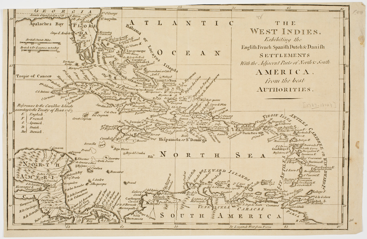
The West Indies, : exhibiting the English French Spanish Dutch & Danish settlements with the adjacent parts of North & South America, from the best authorities
This map is also available in American Revolutionary Geographies Online (ARGO), a collections portal especially built for material relating to the American Revolutionary War Era. Visit ARGO to learn more about this item and explore the historical geography of North America in the late eighteenth century.
Item Information
- Title:
- The West Indies, : exhibiting the English French Spanish Dutch & Danish settlements with the adjacent parts of North & South America, from the best authorities
- Description:
-
Subject: Map of the West Indies, including part of Florida, and northern South America.
- Date:
-
[ca. 1780]
- Format:
-
Maps/Atlases
- Location:
- American Antiquarian Society
- Collection (local):
-
American Antiquarian Society Collection
- Subjects:
-
West Indies--Maps
- Places:
-
West Indies
- Extent:
- 1 map : engraving ; 19 x 29 cm., on sheet 19 x 31 cm.
- Terms of Use:
-
Public Domain/No known restrictions on use. Contact host institution to download image.
Contact host institution for more information.
- Publisher:
-
London? :
[s.n.]
- Scale:
-
Scale [ca. 1:14,572,000]
- Language:
-
English
- Catalog Record:
-
http://catalog.mwa.org/vwebv/holdingsInfo?bibId=506433
- Notes:
-
Prime meridian: Ferro.
Relief shown pictorially.


