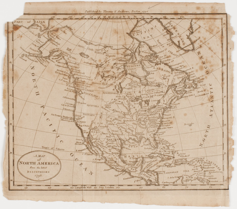
A Map of North America from the latest discoveries 1798
This map is also available in American Revolutionary Geographies Online (ARGO), a collections portal especially built for material relating to the American Revolutionary War Era. Visit ARGO to learn more about this item and explore the historical geography of North America in the late eighteenth century.
Item Information
- Title:
- A Map of North America from the latest discoveries 1798
- Description:
-
Subject: Map of North America including Canada, the United States, Mexico and the Caribbean islands.
- Publisher:
- Thomas & Andrews
- Date:
-
1798
- Format:
-
Maps/Atlases
- Location:
- American Antiquarian Society
- Collection (local):
-
American Antiquarian Society Collection
- Subjects:
-
North America--Maps
- Places:
-
North America (area)
- Extent:
- 1 map : engraving ; 15 x 19 cm., on sheet 18 x 20 cm.
- Terms of Use:
-
Public Domain/No known restrictions on use. Contact host institution to download image.
Contact host institution for more information.
- Publisher:
-
[Boston] :
Published by Thomas & Andrews
- Scale:
-
Scale not given
- Language:
-
English
- Catalog Record:
-
http://catalog.mwa.org/vwebv/holdingsInfo?bibId=477166
- Notes:
-
From Morse, J. Geography made easy, Boston, 1798.
- Notes (date):
-
Boston, 1798


