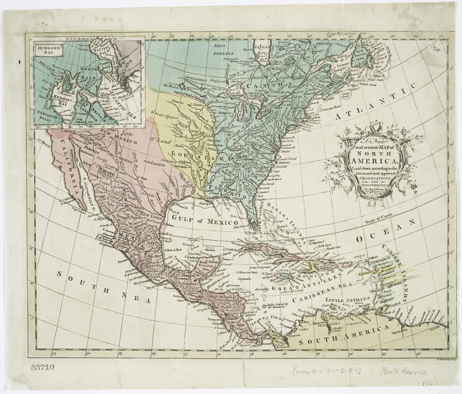
A new and accurate map of North America : laid down according to the latest, and most approved observations and discoveries
This map is also available in American Revolutionary Geographies Online (ARGO), a collections portal especially built for material relating to the American Revolutionary War Era. Visit ARGO to learn more about this item and explore the historical geography of North America in the late eighteenth century.
Item Information
- Title:
- A new and accurate map of North America : laid down according to the latest, and most approved observations and discoveries
- Engraver:
- Seale, Richard William
- Publisher:
- Hinton, John, -1781
- Name on Item:
-
R.W. Seale, sculp.
- Date:
-
[1763]
- Format:
-
Maps/Atlases
- Location:
- New York Public Library
- Collection (local):
-
Lawrence H. Slaughter Collection of English maps, charts, globes, books and atlases
- Subjects:
-
North America--Maps--Early works to 1800
- Places:
-
North America (area)
- Extent:
- 1 map : hand col. ; 27 x 35 cm.
- Terms of Use:
-
No known copyright restrictions.
This work is licensed for use under a Creative Commons Attribution Non-Commercial Share Alike License (CC BY-NC-SA).

- Publisher:
-
[London] :
Univ. mag. J. Hinton, Newgate Street
- Scale:
-
Scale [ca. 1:21,000,000]
- Language:
-
English
- Catalog Record:
-
https://digitalcollections.nypl.org/items/510d47db-c2e5-a3d9-e040-e00a18064a99
- Notes:
-
Relief shown pictorially.
From Universal magazine, v. 32, May 1763.
Prime meridian: Ferro.
Inset: Hudsons Bay. Scale [ca. 1:38,000,000].
Accompanied by p. 113-120 of The Universal magazine for March, 1763.
- Notes (date):
-
This date is inferred.
- LCCN:
-
74692226


