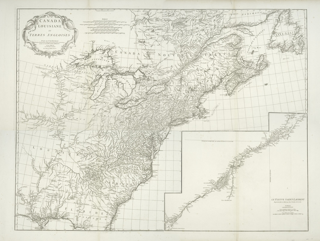
Canada, Louisiane et terres angloises
This map is also available in American Revolutionary Geographies Online (ARGO), a collections portal especially built for material relating to the American Revolutionary War Era. Visit ARGO to learn more about this item and explore the historical geography of North America in the late eighteenth century.
Item Information
- Title:
- Canada, Louisiane et terres angloises
- Creator:
- Anville, Jean Baptiste Bourguignon d', 1697-1782
- Contributor:
- Hhaye, G. de la
- Name on Item:
-
par le Sr. d'Anville.
- Date:
-
1755
- Format:
-
Maps/Atlases
- Location:
- New York Public Library
- Collection (local):
-
Maps of North America
- Subjects:
-
North America--Maps
Saint Lawrence River--Maps
- Places:
-
North America (area)
Saint Lawrence River
- Extent:
- 1 map on 4 sheets ; 87 x 114 cm., sheets 56 x 78 cm.
- Terms of Use:
-
No known copyright restrictions.
This work is licensed for use under a Creative Commons Attribution Non-Commercial Share Alike License (CC BY-NC-SA).

- Publisher:
-
[Paris] :
Chez l'auteur
- Scale:
-
Scale ca. 1:2,800,000
- Language:
-
French
- Catalog Record:
-
https://digitalcollections.nypl.org/items/510d47db-c696-a3d9-e040-e00a18064a99
- Notes:
-
Engraved by G. De-la-Haye.
Includes inset on no. 3: Le Fleuve Saint-Laurent, représenté plus en détail que dans l'étendue de la carte.
Detached from an unidentified atlas.


![[Map of Spanish Louisiana and the American colonies]](https://bpldcassets.blob.core.windows.net/derivatives/images/commonwealth:z603vq85r/image_thumbnail_300.jpg)
