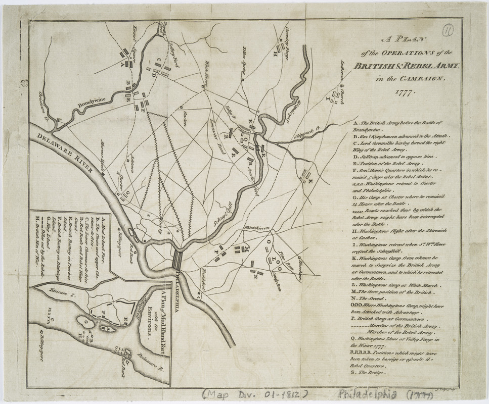
A plan of the operations of the British & Rebel army in the Campaign, 1777
This map is also available in American Revolutionary Geographies Online (ARGO), a collections portal especially built for material relating to the American Revolutionary War Era. Visit ARGO to learn more about this item and explore the historical geography of North America in the late eighteenth century.
Item Information
- Title:
- A plan of the operations of the British & Rebel army in the Campaign, 1777
- Creator:
- Lodge, John, -1796
- Contributor:
- Wilkie, J. (John), -1785
- Name on Item:
-
J. Lodge, sculp.
- Date:
-
[1779?]
- Format:
-
Maps/Atlases
- Location:
- New York Public Library
- Collection (local):
-
Maps of North America
- Subjects:
-
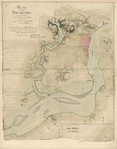
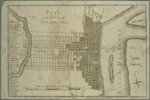
Philadelphia (Pa.)--Maps--Early works to 1800
Philadelphia (Pa.)--History--Revolution, 1775-1783--Maps--Early works to 1800
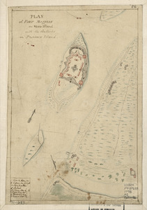
Fort Mifflin (Philadelphia, Pa.)--Maps--Early works to 1800
Brandywine, Battle of, Pa., 1777--Maps--Early works to 1800
Philadelphia Campaign, 1777-1778--Maps--Early works to 1800
- Places:
-
Delaware (county)Brandywine Battlefield (historic site)
Philadelphia (county)Philadelphia
Fort Mifflin
- Extent:
- 1 map ; 22 x 26 cm.
- Terms of Use:
-
No known copyright restrictions.
This work is licensed for use under a Creative Commons Attribution Non-Commercial Share Alike License (CC BY-NC-SA).

- Publisher:
-
London? :
J. Wilkie?
- Scale:
-
Scale [ca. 1:384,000]
- Language:
-
English
- Catalog Record:
-
https://digitalcollections.nypl.org/items/510d47da-f009-a3d9-e040-e00a18064a99
- Notes:
-
Covers Philadelphia and vicinity.
Shows forts, army camps positions and marches.
Probably from J. Galloway's Letters to a nobleman ... London, 1779.
Includes notes.
Inset : A plan of Mud Island Fort with its environs.