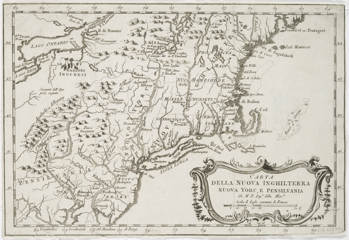
Carta della Nuova Inghilterra, Nuova Yorc, e Pensilvania
This map is also available in American Revolutionary Geographies Online (ARGO), a collections portal especially built for material relating to the American Revolutionary War Era. Visit ARGO to learn more about this item and explore the historical geography of North America in the late eighteenth century.
Item Information
- Title:
- Carta della Nuova Inghilterra, Nuova Yorc, e Pensilvania
- Title (alt.):
-
Gazzettiere americano
- Creator:
- M. B.
- Name on Item:
-
di M.B. Inge della Mara.
- Date:
-
[1763?]
- Format:
-
Maps/Atlases
- Location:
- New York Public Library
- Collection (local):
-
Maps of North America
- Subjects:
-
Northeastern States--Maps--Early works to 1800
- Places:
-
Northeastern United States (area)
- Extent:
- 1 map ; 20 x 30 cm.
- Terms of Use:
-
No known copyright restrictions.
This work is licensed for use under a Creative Commons Attribution Non-Commercial Share Alike License (CC BY-NC-SA).

- Publisher:
-
Livorno? :
Marco Coltellini?
- Scale:
-
Scale [ca. 1:3,600,000]
- Language:
-
Italian
- Catalog Record:
-
https://digitalcollections.nypl.org/items/510d47da-ef8d-a3d9-e040-e00a18064a99
- Notes:
-
Relief shown pictorially.
Appears in Il gazzettiere americano, v. 2., 1763.


