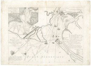
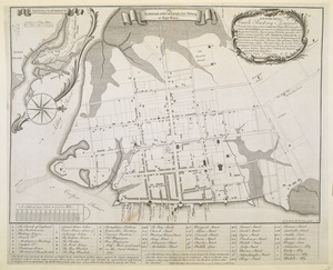
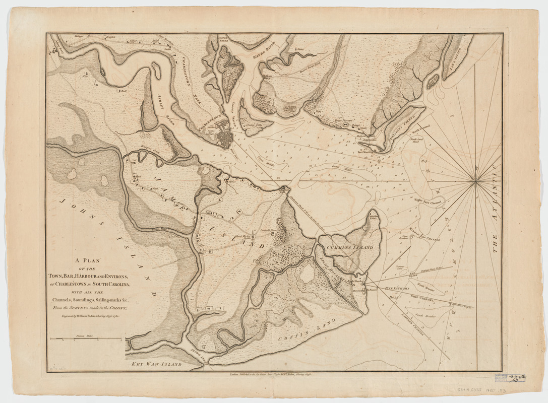
A plan of the town, bar, harbour and environs, of Charlestown in South Carolina : with all the channels, soundings, sailing-marks, &c. from the surveys made in the colony
This map is also available in American Revolutionary Geographies Online (ARGO), a collections portal especially built for material relating to the American Revolutionary War Era. Visit ARGO to learn more about this item and explore the historical geography of North America in the late eighteenth century.
Item Information
- Title:
- A plan of the town, bar, harbour and environs, of Charlestown in South Carolina : with all the channels, soundings, sailing-marks, &c. from the surveys made in the colony
- Title (uniform):
-
Atlas of battles of the American Revolution
- Creator:
- Faden, William, 1749-1836
- Name on Item:
-
engraved by William Faden.
- Date:
-
1780
- Format:
-
Maps/Atlases
- Location:
- Harvard Library
- Collection (local):
-
Harvard Map Collection
- Subjects:
-
Harbors--South Carolina--Charleston--Maps--Early works to 1800
Charleston Region (S.C.)--Maps--Early works to 1800
- Places:
-
Charleston (county)Charleston
- Extent:
- 1 map ; 50 x 68 cm.
- Terms of Use:
-
No known copyright restrictions.
This work is licensed for use under a Creative Commons Attribution Non-Commercial Share Alike License (CC BY-NC-SA).

- Publisher:
-
London :
W. Faden
- Scale:
-
Scale [ca. 1:46,000]
- Language:
-
English
- Catalog Record:
-
http://id.lib.harvard.edu/aleph/010131451/catalog
- Notes:
-
Relief shown by hachures. Depths shown by soundings.
From: Atlas of battles of the American Revolution / William Faden. No. 19. London : W. Faden, 1793.