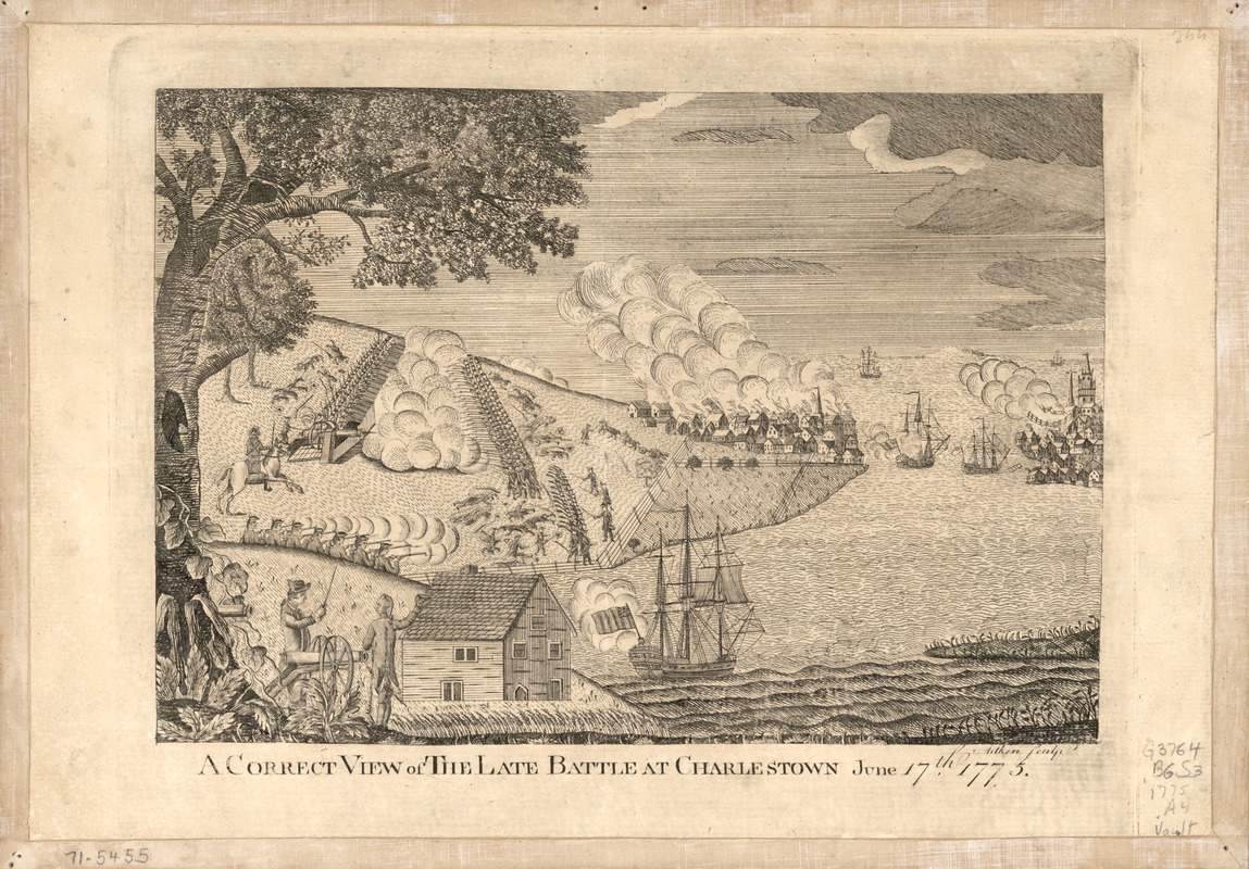
A correct view of the late battle at Charlestown : June 17th, 1775
This map is also available in American Revolutionary Geographies Online (ARGO), a collections portal especially built for material relating to the American Revolutionary War Era. Visit ARGO to learn more about this item and explore the historical geography of North America in the late eighteenth century.
Item Information
- Title:
- A correct view of the late battle at Charlestown : June 17th, 1775
- Title (alt.):
-
Correct view of the late battle at Charlestown
- Creator:
- Aitken, Robert, 1735-1802
- Name on Item:
-
Aitken, sculp.
- Date:
-
[1775?]
- Format:
-
Prints
- Genre:
-
Views
- Location:
- Library of Congress Geography and Map Division
- Collection (local):
-
Library of Congress Geography and Map Division
- Subjects:
-
Bunker Hill, Battle of, Boston, Mass., 1775--Maps
- Places:
-
Suffolk (county)BostonBunker Hill
- Extent:
- 1 view ; 18 x 26 cm.
- Terms of Use:
-
No known copyright restrictions.
This work is licensed for use under a Creative Commons Attribution Non-Commercial Share Alike License (CC BY-NC-SA).

- Publisher:
-
Philadelphia? :
[s.n.]
- Scale:
-
Not drawn to scale
- Language:
-
English
- Catalog Record:
-
https://lccn.loc.gov/gm71005455
- Notes:
-
Shows troops in action, British ships, and the village of Charleston.
Bird's-eye-view.
Exhibited in G&M exhibit, May 1975.
- LCCN:
-
gm 71005455


