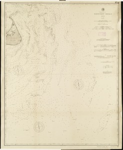
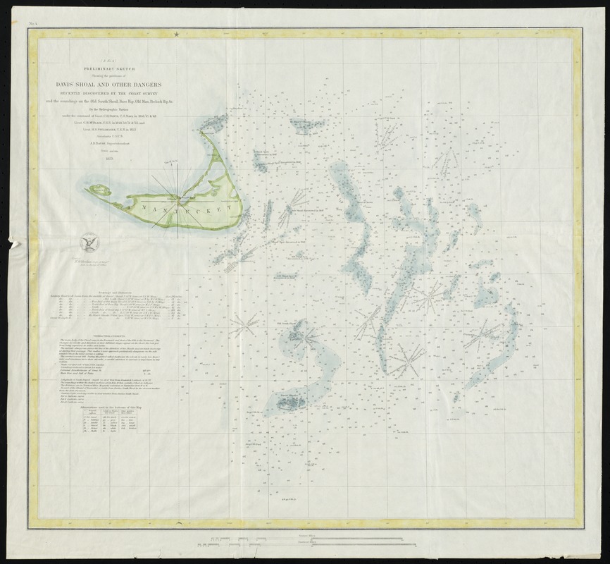
Preliminary sketch showing the positions of Davis' Shoal and other dangers recently discovered by the Coast Survey and the soundings on the Old South Shoal, Bass Rip., Old Man. Pochinck Rip., &c.
Item Information
- Title:
- Preliminary sketch showing the positions of Davis' Shoal and other dangers recently discovered by the Coast Survey and the soundings on the Old South Shoal, Bass Rip., Old Man. Pochinck Rip., &c.
- Creator:
- United States Coast Survey
- Contributor:
- Bache, A. D. (Alexander Dallas), 1806-1867
- Name on Item:
-
by the hydrographic parties under the command of Lieutenant C. H. Davis ... Lieut. C. H. McBlair ... and Lieut. H. S. Stellwagen ; A.D. Bache, Superintendent
- Date:
-
1853
- Format:
-
Maps/Atlases
- Location:
- Phillips Academy
- Collection (local):
-
Sidney R. Knafel Map Collection at Phillips Academy, Andover MA
- Subjects:
-
Nautical charts--Massachusetts--Nantucket Shoals
Nantucket Shoals (Mass)--Maps
- Places:
-
Nantucket (county)Nantucket Shoals (area)
- Extent:
- 1 map : hand colored ; 42 x 47 cm.
- Terms of Use:
-
Rights status not evaluated.
Contact host institution for more information.
- Publisher:
-
[Washington, D.C.] :
U.S. Coast Survey
- Scale:
-
Scale 1:200,000W 70.40°--W 69.25°/N 41.55°--N 40.75°).
- Language:
-
English
- Notes:
-
Depth shown by gradient tints and soundings.
Includes bearings, distances, tides and tidal currents, and bottom types.
At head of title: (A no. 4).
In upper left: No. 4.
- Identifier:
-
1354