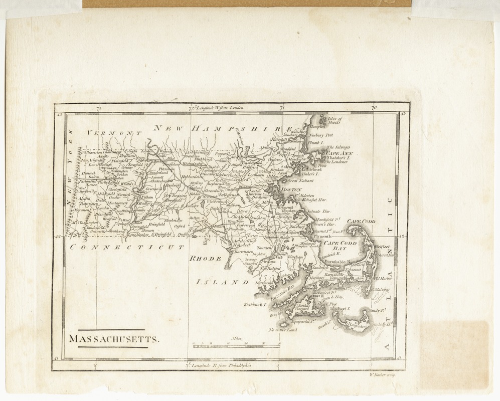
Massachusetts
This map is also available in American Revolutionary Geographies Online (ARGO), a collections portal especially built for material relating to the American Revolutionary War Era. Visit ARGO to learn more about this item and explore the historical geography of North America in the late eighteenth century.
Item Information
- Title:
- Massachusetts
- Contributor:
- Barker, William
- Creator:
- Carey, Mathew, 1760-1839
- Name on Item:
-
Wm. Barker sculp.
- Date:
-
[1800?–1899?]
- Format:
-
Maps/Atlases
- Location:
- Phillips Academy
- Collection (local):
-
Sidney R. Knafel Map Collection at Phillips Academy, Andover MA
- Subjects:
-
Massachusetts--Maps
- Places:
-
Massachusetts
- Extent:
- 1 map ; 14 x 18 cm.
- Terms of Use:
-
Rights status not evaluated.
Contact host institution for more information.
- Publisher:
-
[Philadelphia] :
[Mathew Carey]
- Scale:
-
Scale [ca. 1:1,700,000]
- Language:
-
English
- Notes:
-
Relief shown pictorially.
Prime meridians: London and Philadelphia.
Appears in Carey's American pocket atlas, his Minor American atlas, and his General atlas.
A later state of Carey's 1796 map (cf. Wheat & Brun, 217).
- Identifier:
-
1376


