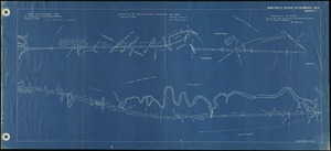
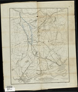
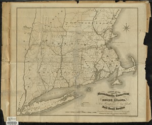
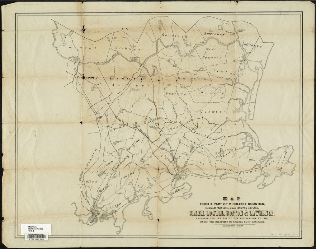
Map of parts of Essex & part of Middlesex counties, showing the rail road routes between Salem, Lowell, Boston & Lawrence
Item Information
- Title:
- Map of parts of Essex & part of Middlesex counties, showing the rail road routes between Salem, Lowell, Boston & Lawrence
- Creator:
- Parrott, George B.
- Engineer:
- Nott, Samuel
- Name on Item:
-
prepared under the direction of Samuel Nott, engineer, Boston, January 1848 ; drawn by Geo. B. Parrott
- Date:
-
1848
- Format:
-
Maps/Atlases
- Location:
- Lucius Beebe Memorial Library
- Collection (local):
-
Lucius Beebe Memorial Library Historic Maps
- Subjects:
-
Railroads
- Places:
-
Essex (county)
Middlesex (county)
- Extent:
- 1 map ; 49 x 64 cm.
- Terms of Use:
-
No known copyright restrictions.
No known restrictions on use.
- Publisher:
-
Boston :
Sharpe & Pierce
- Scale:
-
Scale [ca 1:105,600]
- Language:
-
English
- Notes (date):
-
"Jan. 1848."
- Call #:
-
Local History Map Case Rail Road Routes 1848-2
- Barcode:
-
31392003576315