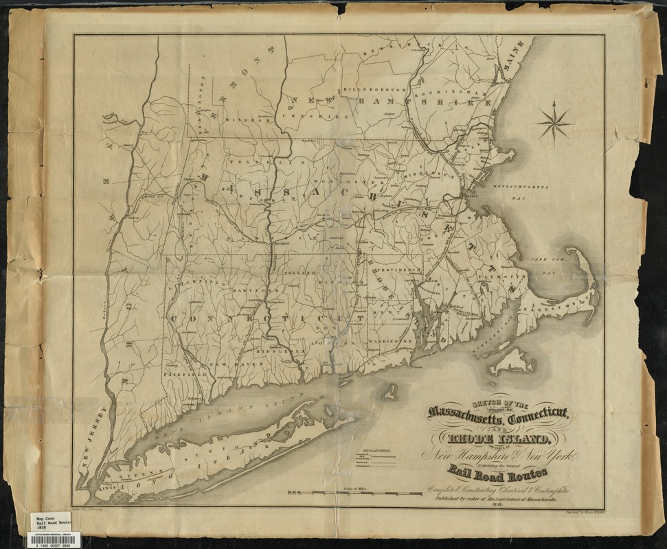
Sketch of the states of Massachusetts, Connecticut, and Rhode Island, and parts of New Hampshire & New York exhibiting the several rail road routes completed, constructing, chartered & contemplated : published by order of the Legislature of Massachusetts, 1838
Item Information
- Title:
- Sketch of the states of Massachusetts, Connecticut, and Rhode Island, and parts of New Hampshire & New York exhibiting the several rail road routes completed, constructing, chartered & contemplated : published by order of the Legislature of Massachusetts, 1838
- Creator:
- Kennedy, Archibald, active 1850
- Engraver:
- Morse and Tuttle
- Name on Item:
-
drawn by A. Kennedy ; engraved by Morse & Tuttle
- Date:
-
1838
- Format:
-
Maps/Atlases
- Location:
- Lucius Beebe Memorial Library
- Collection (local):
-
Lucius Beebe Memorial Library Historic Maps
- Subjects:
-
Railroads
- Places:
-
New England (area)
- Extent:
- 1 map : col. ; 46 x 52 cm.
- Terms of Use:
-
No known copyright restrictions.
No known restrictions on use.
- Publisher:
-
Boston :
[s.n.]
- Scale:
-
Scale [ca. 1:1,267,200]
- Language:
-
English
- Notes:
-
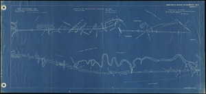
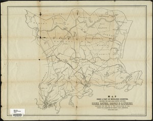
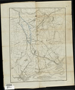
Map depicts southern New England showing rivers, major cities and towns, county boundaries, and railroad lines.
- Call #:
-
Local History Map Case Rail Road Routes 1838
- Barcode:
-
31392003576836