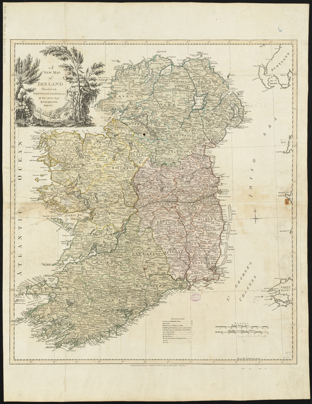
A new map of Ireland divided into provinces, counties, &c
Item Information
- Title:
- A new map of Ireland divided into provinces, counties, &c
- Creator:
- Kitchin, Thomas, 1718-1784
- Cartographer:
- Kitchin, Thomas, 1718-1784
- Publisher:
- Robert Sayer and John Bennett (Firm)
- Name on Item:
-
by Thos. Kitchin, Geogr., Hydrographer to His Majesty
- Date:
-
1777
- Format:
-
Maps/Atlases
- Location:
-
Boston Public Library
Norman B. Leventhal Map Center - Collection (local):
-
Norman B. Leventhal Map Center Collection
- Subjects:
-
Ireland--Maps--Early works to 1800
- Places:
-
Ireland
- Extent:
- 1 map : hand colored ; 62 x 55 cm
- Terms of Use:
-
No known copyright restrictions.
No known restrictions on use.
- Publisher:
-
London :
Printed for R. Sayer & J. Bennett
- Scale:
-
Scale approximately 1:775,000
- Language:
-
English
- Notes:
-
Relief shown pictorially.
Conservation of this piece was funded by Alan and Sherry Leventhal in memory of his father, Norman B. Leventhal whose vision to create this Map Center will inspire generations to come.
Map 6 in a composite atlas with the title "Atlas of the world."
- Identifier:
-
06_01_014659
- Call #:
-
G1015 .A85 1783
- Barcode:
-
30000004730194


